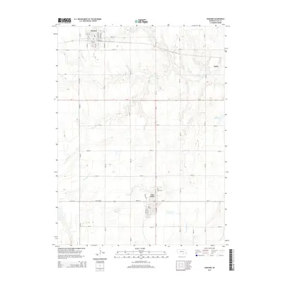
2014 Map of Harvard
USGS Topo · Published 2014About this map
Clay Center serves as a focal point in this south-central Nebraska landscape, where the town's street grid is clearly defined by routes like S Martin Ave and S Center St. The map illustrates a transitional era of rural connectivity, showing the intersection of major transit corridors like Us-6 and Ne-14 with a dense network of sectional roads. To the north, the town of Harvard is detailed with its residential blocks and local Po, while the eastern edge captures a portion of Sutton. The agricultural character of the region is evident in the meandering paths of School Cr and Little Sandy Cr, alongside the Hultine Reservoir. Notable for genealogists is the Clay Center Cem, providing a precise location for local heritage research in this Clay County quadrangle.
Find a feature on this map
38 named features on this map. Tap any name to fly to it.
Don’t see what you’re looking for? This feature index may not catch every label — zoom into the map to look around manually.
Map Details
Editions of this 2014 Harvard Map
This is the sole edition of this map. No revisions or reprints were ever made.
Other maps of this area

1898 · York
USGS Topo · 1:125,000

1898 · Superior
USGS Topo · 1:125,000

1898 · Hebron
USGS Topo · 1:125,000

1898 · Grand Island
USGS Topo · 1:125,000

1899 · York
USGS Topo · 1:125,000

1955 · Lincoln
USGS Topo · 1:250,000

1955 · Grand Island
USGS Topo · 1:250,000

1957 · Lincoln
USGS Topo · 1:250,000

1957 · Grand Island
USGS Topo · 1:250,000

1958 · Grand Island
USGS Topo · 1:250,000