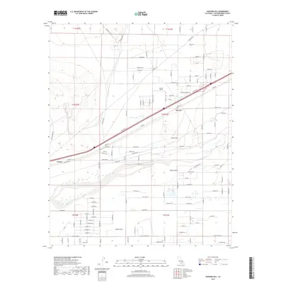
2018 Map of Harvard Hill
USGS Topo · Published 2018About this map
Harvard and the settlement of Toomey anchor this high-desert landscape, where the Mojave River carves a path through the Mojave Desert and into the Mojave Valley. The map reveals a complex water system in an arid environment, featuring several named basins such as Coyote Lake, Dolores Lake, Lake Jodie, and Lake Tami. Rising above the valley floor, Harvard Hill serves as a prominent landmark for the region. Transportation and infrastructure are central to the area's layout, with the Harvard Airport positioned north of the primary road network. The grid of desert roads, including the Starbright Mine Rd and Hacienda Rd, highlights the late 20th-century development patterns and the transition between small local settlements and the open desert terrain.
Find a feature on this map
111 named features on this map. Tap any name to fly to it.
Don’t see what you’re looking for? This feature index may not catch every label — zoom into the map to look around manually.
Map Details
Editions of this 2018 Harvard Hill Map
This is the sole edition of this map. No revisions or reprints were ever made.
Other maps of this area

1933 · Avawatz Mountains
USGS Topo · 1:250,000

1947 · Trona
USGS Topo · 1:250,000

1948 · Trona
USGS Topo · 1:250,000

1948 · Alvord Mountain
USGS Topo · 1:62,500

1948 · Lane Mountain
USGS Topo · 1:62,500

1951 · Alvord Mountain
USGS Topo · 1:62,500

1951 · Lane Mountain
USGS Topo · 1:62,500

1953 · San Bernardino
USGS Topo · 1:250,000

1953 · Yermo
USGS Topo · 1:24,000

1953 · Trona
USGS Topo · 1:250,000