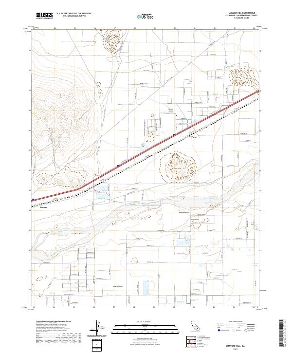
2021 Map of Harvard Hill
USGS Topo · Published 2021About this map
Harvard and Toomey sit at the center of this 2021 landscape, where the seasonal path of the Mojave River carves through the arid floor of the Mojave Desert. The map reveals a specialized desert infrastructure, defined by long straightaways like Yermo Rd and Hacienda Rd that parallel the primary transit corridor. Small pockets of water, including Dolores Lake, Lake Tami, and Lake Jodie, contrast with the surrounding dry lakebeds and sand-swept terrain of the Mojave Valley. The namesake Harvard Hill rises as a prominent landmark south of the town site, while the presence of Harvard Airport and access routes like Starbright Mine Rd and Coyote Lake Rd speak to the region's history of mineral exploration and remote aviation. This survey documents the modern layout of these high-desert outposts and the persistent geography of the river wash.
Find a feature on this map
112 named features on this map. Tap any name to fly to it.
Don’t see what you’re looking for? This feature index may not catch every label — zoom into the map to look around manually.
Map Details
Editions of this 2021 Harvard Hill Map
This is the sole edition of this map. No revisions or reprints were ever made.
Other maps of this area

1933 · Avawatz Mountains
USGS Topo · 1:250,000

1947 · Trona
USGS Topo · 1:250,000

1948 · Trona
USGS Topo · 1:250,000

1948 · Alvord Mountain
USGS Topo · 1:62,500

1948 · Lane Mountain
USGS Topo · 1:62,500

1951 · Alvord Mountain
USGS Topo · 1:62,500

1951 · Lane Mountain
USGS Topo · 1:62,500

1953 · San Bernardino
USGS Topo · 1:250,000

1953 · Yermo
USGS Topo · 1:24,000

1953 · Trona
USGS Topo · 1:250,000