2022 Map of Harvard
USGS Topo · Published 2022About this map
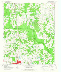
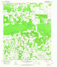
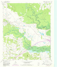
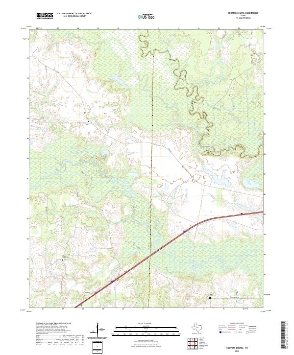
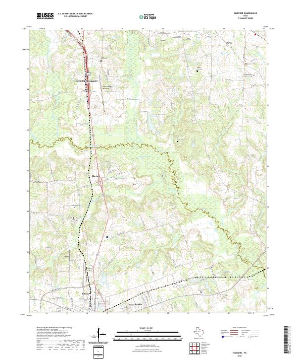
Big Cypress Cr meanders along the boundary between Titus and Camp Counties, defining the lowlands of this northeast Texas landscape. The terrain transitions from the residential outskirts of Mount Pleasant in the north to the northern edge of Pittsburg in the south, connected by the corridor of US Highway 271. Small settlements and rural developments like Harvard and Pecan Heights sit amidst a network of country roads and family-named cemeteries, reflecting the area's long-standing community structure.
Find a feature on this map
39 named features on this map. Tap any name to fly to it.
Don’t see what you’re looking for? This feature index may not catch every label — zoom into the map to look around manually.
Map Details
Editions of this 2022 Harvard Map
This is the sole edition of this map. No revisions or reprints were ever made.
Historical Maps of Macedonia Through Time
6 maps found