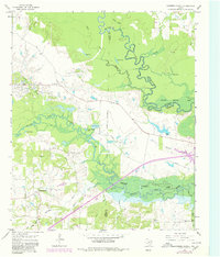
1965 Map of Coopers Chapel
USGS Topo · Published 1980About this map
The convergence of the Sulphur River and the expansive Wright Patman Lake defines this landscape on the border of Titus, Morris, and Red River Counties. This 1965 survey, updated through 1980, reveals a region shaped by both natural waterways and industrial extraction. In the northwest, the Pewitt Ranch Oil Field is marked with numerous oil wells and a pipeline, while the southern reaches are crisscrossed by a dense network of tributaries including Smackover Creek, White Oak Creek, and Bear Creek. Local life is anchored by small rural centers such as Coopers Chapel, with surrounding landmarks like Evergreen Cem and Mt Moriah Cem providing critical reference points for genealogists. The map also documents many small water bodies like Blue Lake and Little Grassy Lake that punctuate the bottomlands near Hill Hole.
Find a feature on this map
39 named features on this map. Tap any name to fly to it.
Don’t see what you’re looking for? This feature index may not catch every label — zoom into the map to look around manually.
Map Details
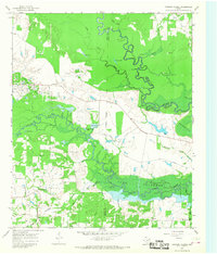
Editions of this 1965 Coopers Chapel Map
2 editions found
Other maps of this area

1914 · Daingerfield
USGS Topo · 1:62,500

1930 · Bassett
USGS Topo · 1:62,500

1953 · Texarkana
USGS Topo · 1:250,000

1956 · Texarkana
USGS Topo · 1:250,000

1964 · Wilkinson
USGS Topo · 1:24,000

1965 · Lydia
USGS Topo · 1:24,000
1965 · Hodgson
USGS Topo · 1:24,000

1965 · Dalby Springs
USGS Topo · 1:24,000

1965 · Mount Pleasant
USGS Topo · 1:24,000
1965 · Boxelder
USGS Topo · 1:24,000