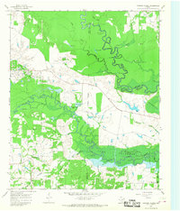
1965 Map of Coopers Chapel
USGS Topo · Published 1968About this map
The confluence of the Sulphur River and White Oak Creek marks a landscape defined by seasonal flooding and shifting watercourses in the mid-1960s. This territory, spanning the borders of Red River, Titus, and Morris counties, is dominated by the sprawling Lake Texarkana and numerous swampy features like Duck Slash, Little Grassy Lake, and Hill Hole. The map documents a rural network of small communities and family landmarks, with the settlement of Coopers Chapel situated near the headwaters of Smackover Branch.
Find a feature on this map
40 named features on this map. Tap any name to fly to it.
Don’t see what you’re looking for? This feature index may not catch every label — zoom into the map to look around manually.
Map Details
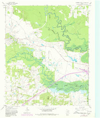
Editions of this 1965 Coopers Chapel Map
2 editions found
Other maps of this area

1914 · Daingerfield
USGS Topo · 1:62,500

1930 · Bassett
USGS Topo · 1:62,500

1953 · Texarkana
USGS Topo · 1:250,000

1956 · Texarkana
USGS Topo · 1:250,000

1964 · Wilkinson
USGS Topo · 1:24,000

1965 · Lydia
USGS Topo · 1:24,000
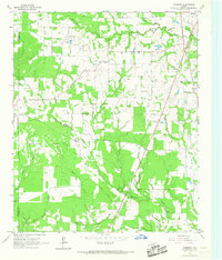
1965 · Hodgson
USGS Topo · 1:24,000

1965 · Dalby Springs
USGS Topo · 1:24,000

1965 · Mount Pleasant
USGS Topo · 1:24,000
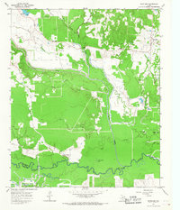
1965 · Boxelder
USGS Topo · 1:24,000