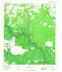
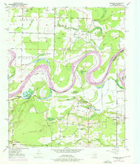
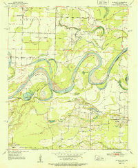
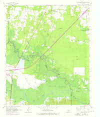
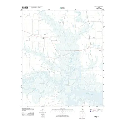
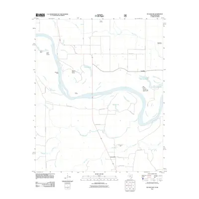
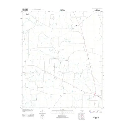
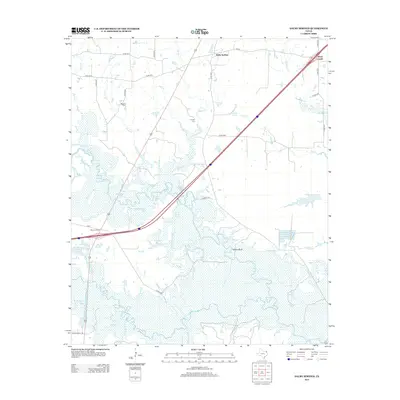
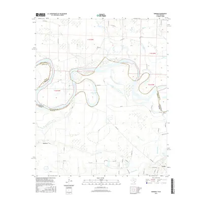
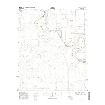
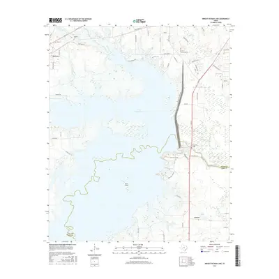
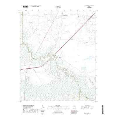
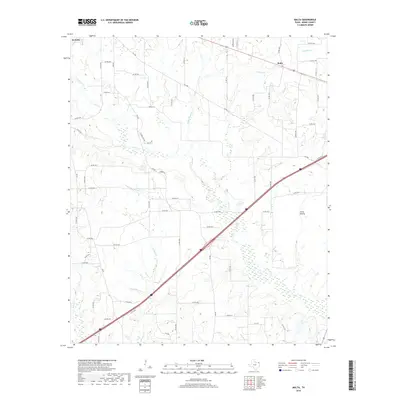
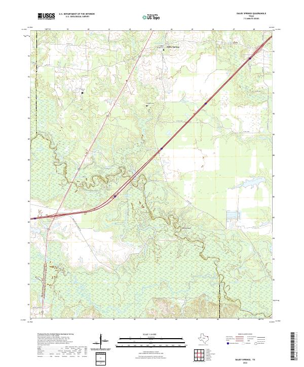
1965 Map of Dalby Springs
USGS Topo · Published 1967About this map
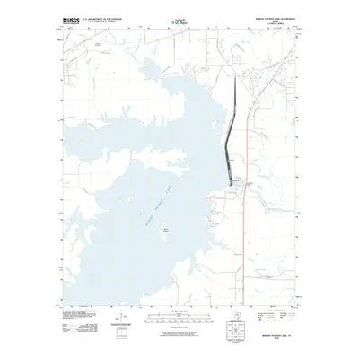
The Sulphur River dominates this mid-1960s landscape at the junction of Bowie, Red River, Morris, and Cass counties. The river valley is a complex network of wetlands and oxbows, featuring Greenhaw Lake, Twin Lakes, and Muddy Clark Slough. To the south, the rising waters of Lake Texarkana have begun to reshape the terrain, with areas marked for controlled inundation near Willow Bluff and Reddon Lake.
Find a feature on this map
39 named features on this map. Tap any name to fly to it.
Don’t see what you’re looking for? This feature index may not catch every label — zoom into the map to look around manually.
Map Details
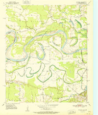
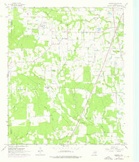
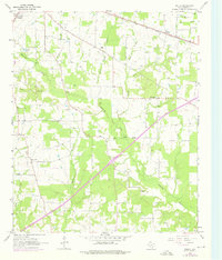
Editions of this 1965 Dalby Springs Map
2 editions found
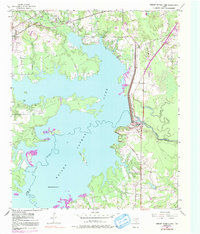
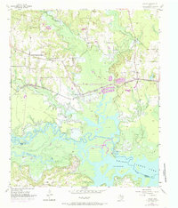
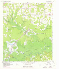
Historical Maps of Ward Creek Through Time
71 maps found
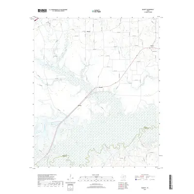
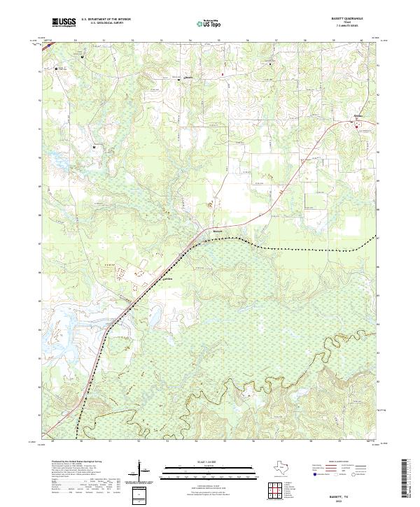
1930 Bassett
Bowie County, TX
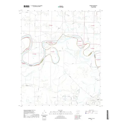
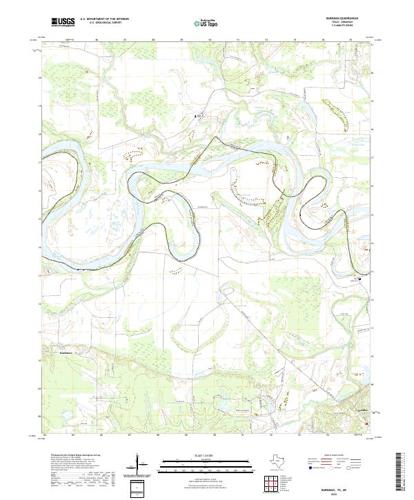
1950 Barkman
Bowie County, TX
1950 De Kalb NW
Bowie County, TX

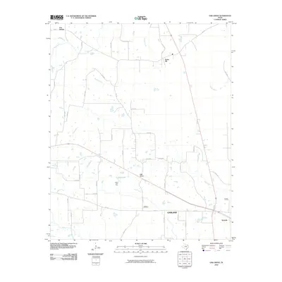
1950 Oak Grove
Bowie County, TX
1950 Redbank
Bowie County, TX
1951 Barkman
Bowie County, TX
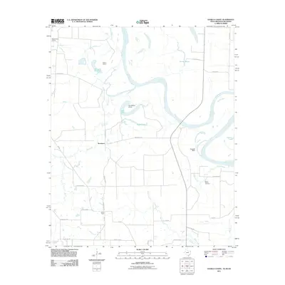
1951 Daniels Chapel
Bowie County, TX
1951 De Kalb NW
Bowie County, TX

1951 Oak Grove
Bowie County, TX
1951 Redbank
Bowie County, TX
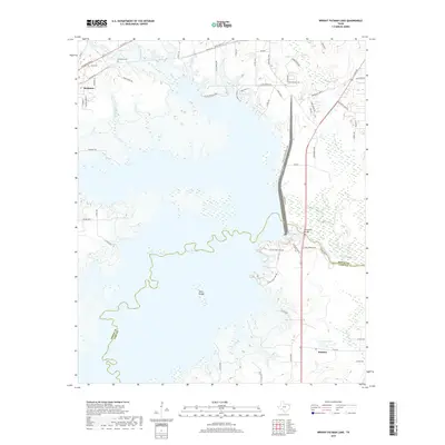
1954 Wright Patman Lake
Bowie County, TX
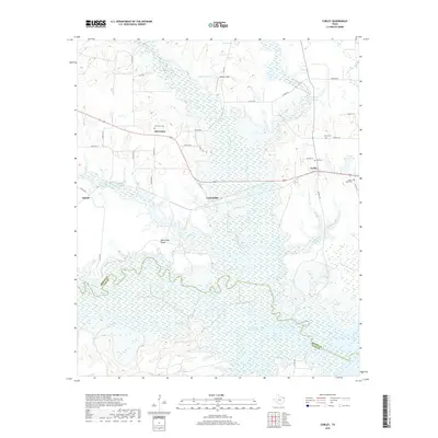
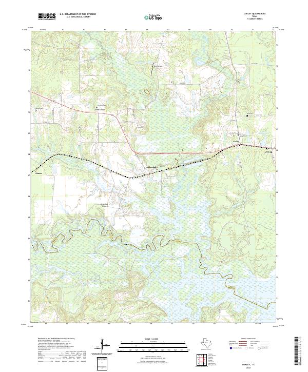
1955 Corley
Bowie County, TX
1965 Bassett
Bowie County, TX
1965 Dalby Springs
Bowie County, TX
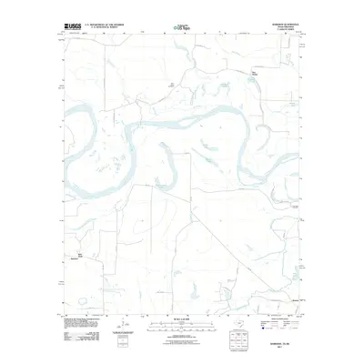
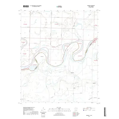
1965 Hodgson
Bowie County, TX
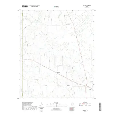
1965 Malta
Bowie County, TX
2010 Bassett
Bowie County, TX
2010 Corley
Bowie County, TX
2010 Dalby Springs
Bowie County, TX
2010 Hodgson
Bowie County, TX
2010 Malta
Bowie County, TX
2010 Oak Grove
Bowie County, TX
2010 Wright Patman Lake
Bowie County, TX
2011 Barkman
Bowie County, TX
2011 Daniels Chapel
Bowie County, TX
2011 De Kalb NW
Bowie County, TX
2011 Redbank
Bowie County, TX
2012 Hodgson
Bowie County, TX
2012 Malta
Bowie County, TX
2012 Oak Grove
Bowie County, TX
2013 Barkman
Bowie County, TX
2013 Bassett
Bowie County, TX
2013 Corley
Bowie County, TX
2013 Dalby Springs
Bowie County, TX
2013 Daniels Chapel
Bowie County, TX

2013 De Kalb NW
Bowie County, TX
2013 Redbank
Bowie County, TX
2013 Wright Patman Lake
Bowie County, TX
2016 Barkman
Bowie County, TX
2016 Bassett
Bowie County, TX
2016 Corley
Bowie County, TX
2016 Dalby Springs
Bowie County, TX
2016 Daniels Chapel
Bowie County, TX
2016 De Kalb NW
Bowie County, TX
2016 Hodgson
Bowie County, TX

2016 Malta
Bowie County, TX

2016 Oak Grove
Bowie County, TX
2016 Redbank
Bowie County, TX
2016 Wright Patman Lake
Bowie County, TX
2019 Barkman
Bowie County, TX
2019 Bassett
Bowie County, TX
2019 Corley
Bowie County, TX
2019 Dalby Springs
Bowie County, TX
2019 Daniels Chapel
Bowie County, TX
2019 De Kalb NW
Bowie County, TX
2019 Hodgson
Bowie County, TX
2019 Malta
Bowie County, TX
2019 Oak Grove
Bowie County, TX
2019 Redbank
Bowie County, TX
2019 Wright Patman Lake
Bowie County, TX
2022 Barkman
Bowie County, TX
2022 Bassett
Bowie County, TX
2022 Corley
Bowie County, TX
2022 Dalby Springs
Bowie County, TX
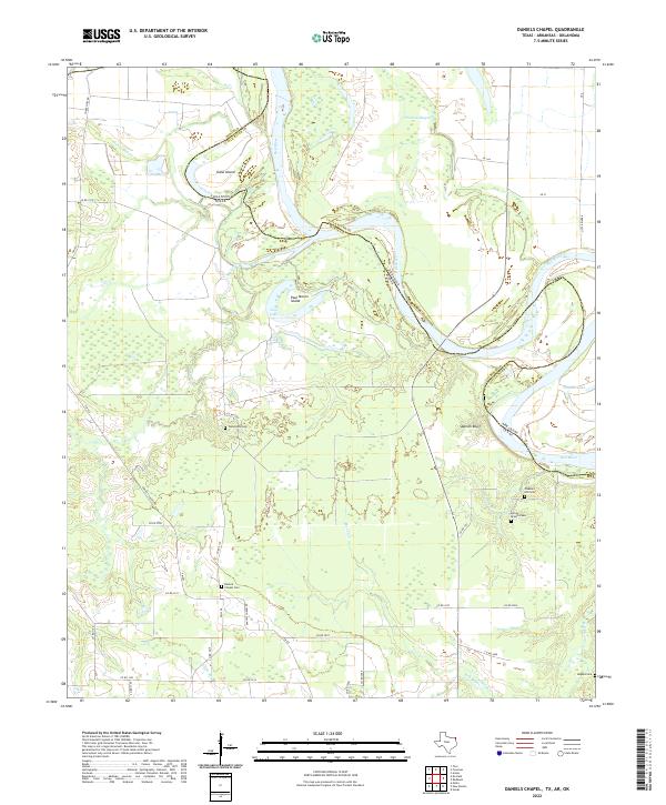
2022 Daniels Chapel
Bowie County, TX
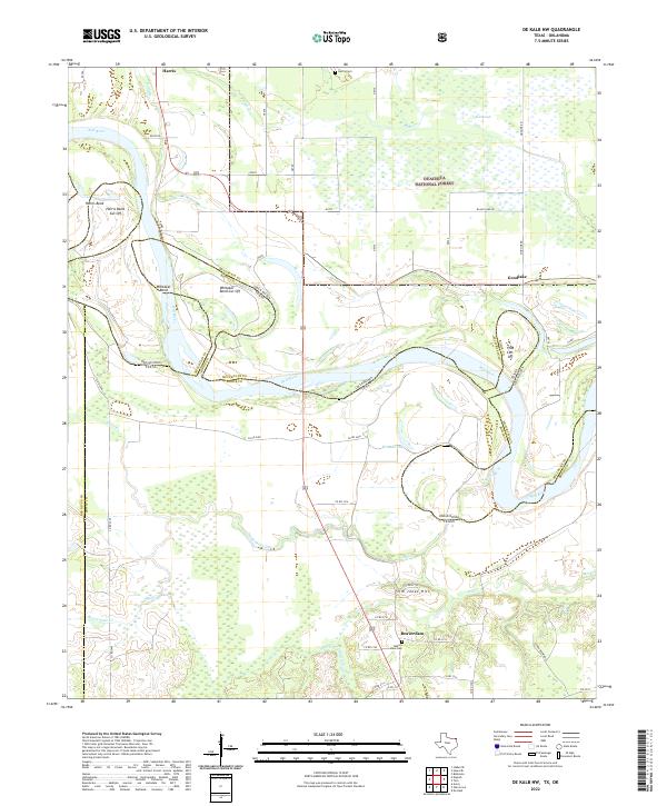
2022 De Kalb NW
Bowie County, TX
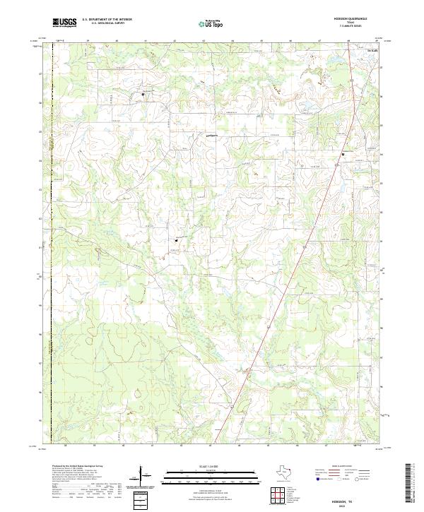
2022 Hodgson
Bowie County, TX
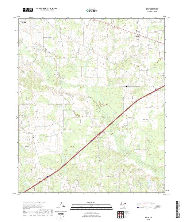
2022 Malta
Bowie County, TX
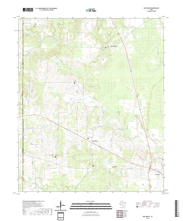
2022 Oak Grove
Bowie County, TX
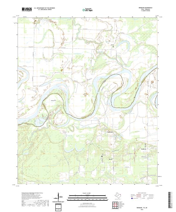
2022 Redbank
Bowie County, TX
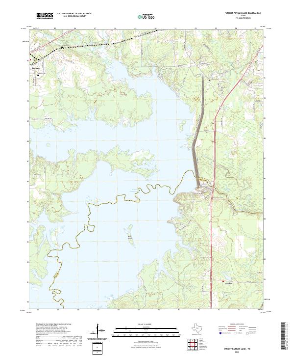
2022 Wright Patman Lake
Bowie County, TX