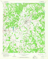
1965 Map of Naples
USGS Topo · Published 1967About this map
The town of Naples serves as the focal point of this mid-1960s landscape, positioned at the intersection of local industry and rural education. The presence of both Pewitt Sch and Carver High Sch highlights the local educational infrastructure during this era, while the St Louis Southwestern railroad line and the St Louis Southwestern Railroad Grade cut across the terrain, indicating the historical path of regional logistics. Along the western edge, the settlement of Omaha is clearly defined, situated near the waters of Glass Club Lake.
Find a feature on this map
34 named features on this map. Tap any name to fly to it.
Don’t see what you’re looking for? This feature index may not catch every label — zoom into the map to look around manually.
Map Details
Editions of this 1965 Naples Map
2 editions found
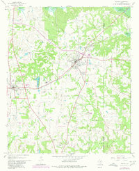
Other maps of this area

1914 · Daingerfield
USGS Topo · 1:62,500

1930 · Bassett
USGS Topo · 1:62,500

1953 · Texarkana
USGS Topo · 1:250,000

1956 · Texarkana
USGS Topo · 1:250,000

1964 · Daingerfield
USGS Topo · 1:24,000

1964 · Cason
USGS Topo · 1:24,000

1965 · Marietta
USGS Topo · 1:24,000

1965 · Dalby Springs
USGS Topo · 1:24,000
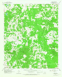
1965 · Sardis
USGS Topo · 1:24,000
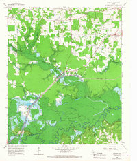
1965 · Bassett
USGS Topo · 1:24,000