
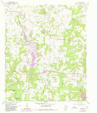
1964 Map of Cason
USGS Topo · Published 1967About this map
The community of Cason serves as the focal point of this mid-century East Texas survey, situated along the Louisiana And Arkansas railroad line. The landscape is defined by the winding paths of Boggy Creek, Swauano Creek, and Williamson Creek, which divide the terrain into timbered ridges and family-named elevations like Hickory Hill. For the family historian, the map preserves the locations of numerous rural institutions that anchored the community, including the Central Grove Sch and churches such as Snow Hill Ch and Shady Grove Ch.
Find a feature on this map
29 named features on this map. Tap any name to fly to it.
Don’t see what you’re looking for? This feature index may not catch every label — zoom into the map to look around manually.
Map Details
Editions of this 1964 Cason Map
2 editions found
Other maps of this area

1914 · Daingerfield
USGS Topo · 1:62,500

1953 · Texarkana
USGS Topo · 1:250,000

1956 · Texarkana
USGS Topo · 1:250,000

1956 · Tyler
USGS Topo · 1:250,000

1960 · La Fayette
USGS Topo · 1:24,000

1960 · Pittsburg
USGS Topo · 1:24,000

1962 · Lone Star
USGS Topo · 1:24,000

1964 · Harvard
USGS Topo · 1:24,000

1964 · Daingerfield
USGS Topo · 1:24,000

1965 · Mount Pleasant
USGS Topo · 1:24,000