
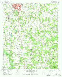
1960 Map of Pittsburg
USGS Topo · Published 1962About this map
Pittsburg serves as a significant East Texas rail hub on this 1960 field-checked survey, where the Louisiana & Arkansas and St Louis Southwestern railroads intersect. The town center is densely plotted, showing City Hall and Douglas HS amid a network of local streets. Outside the urban core, the landscape transitions into a mosaic of small rural communities and family landmarks.
Find a feature on this map
48 named features on this map. Tap any name to fly to it.
Don’t see what you’re looking for? This feature index may not catch every label — zoom into the map to look around manually.
Map Details
Editions of this 1960 Pittsburg Map
2 editions found
Other maps of this area

1953 · Texarkana
USGS Topo · 1:250,000

1956 · Texarkana
USGS Topo · 1:250,000

1956 · Tyler
USGS Topo · 1:250,000

1960 · Bettie
USGS Topo · 1:24,000

1960 · Thomas
USGS Topo · 1:24,000

1960 · Leesburg
USGS Topo · 1:24,000

1960 · Coffeeville
USGS Topo · 1:24,000

1960 · La Fayette
USGS Topo · 1:24,000

1964 · Harvard
USGS Topo · 1:24,000

1964 · Cason
USGS Topo · 1:24,000