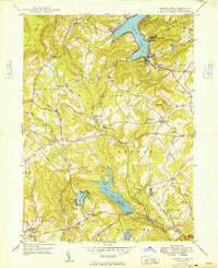
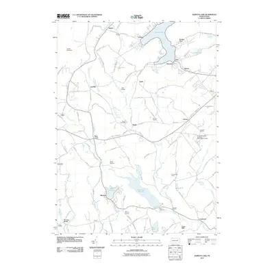
1949 Map of Harveys Lake
USGS Topo · Published 1949About this map
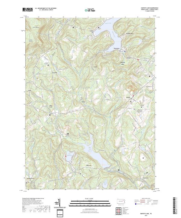
Harvey Lake dominates the northern reaches of this topographic study, serving as a focal point for lakeside settlements like Laketon, Shawanese, and Wordan Place. The landscape transitions from the high elevations of Kocher Mtn and North Mountain in the northwest to the complex hydrology of the south, where the Pikes Creek Reservoir and Lake Silkworth define the drainage patterns.
Find a feature on this map
48 named features on this map. Tap any name to fly to it.
Don’t see what you’re looking for? This feature index may not catch every label — zoom into the map to look around manually.
Map Details
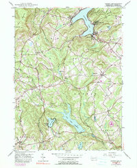
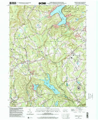
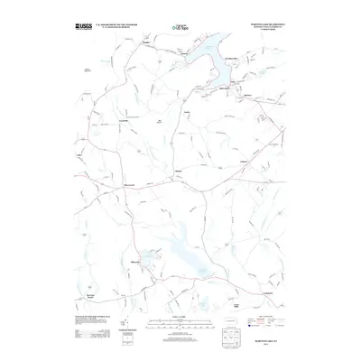
Editions of this 1949 Harveys Lake Map
2 editions found
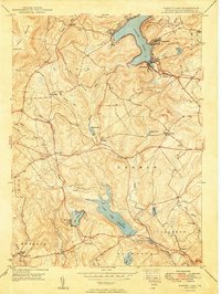
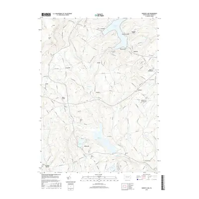
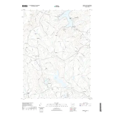
Historical Maps of Dallas Township Through Time
9 maps found

1891 Harveys Lake
Luzerne County, PA
1946 Harveys Lake
Luzerne County, PA
1949 Harveys Lake
Luzerne County, PA
1999 Harveys Lake
Luzerne County, PA
2010 Harveys Lake
Luzerne County, PA
2013 Harveys Lake
Luzerne County, PA
2016 Harveys Lake
Luzerne County, PA
2019 Harveys Lake
Luzerne County, PA
2023 Harveys Lake
Luzerne County, PA
Featured Locations
- Harveys Lake, PA
- Lehman Township, PA
- Hunlock Township, PA
- Dallas Township, PA
- Pikes Creek, Lake Township