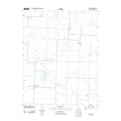
2011 Map of Harwood
USGS Topo · Published 2011About this map
Walker serves as a primary settlement node in this rural Vernon County landscape, where the grid of county roads meets the rail-aligned streets of W Marvin Ave. The area is defined by a series of north-south drainage systems, including Ladies Branch, Coal Creek, and Robinson Branch, which navigate the gentle terrain south of Pepper Hill. This 2011 survey documents a community deeply rooted in its local geography, evidenced by the high density of rural burial grounds such as Green Mound Cemetery, Bethany Cemetery, and Mount Vernon Cemetery. Further north, smaller clusters like Fair Haven and Harwood mark historic points of settlement along the roadway network. The landscape transitions in the south toward Covington Lake and Handley, illustrating the persistence of these small Missouri townships and their associated family landmarks over generations.
Find a feature on this map
28 named features on this map. Tap any name to fly to it.
Don’t see what you’re looking for? This feature index may not catch every label — zoom into the map to look around manually.
Map Details
Editions of this 2011 Harwood Map
This is the sole edition of this map. No revisions or reprints were ever made.
Other maps of this area

1886 · Nevada
USGS Topo · 1:125,000

1887 · Butler
USGS Topo · 1:125,000

1894 · Butler
USGS Topo · 1:125,000

1894 · Nevada
USGS Topo · 1:125,000

1933 · Camp Clark
USGS Topo · 1:24,000

1934 · Papinsville
USGS Topo · 1:24,000

1934 · Rockville
USGS Topo · 1:24,000

1936 · Rich Hill
USGS Topo · 1:24,000

1938 · Horton
USGS Topo · 1:24,000

1939 · Horton
USGS Topo · 1:24,000