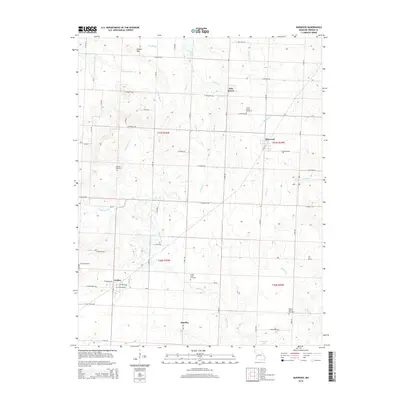
2015 Map of Harwood
USGS Topo · Published 2015About this map
Walker and Harwood serve as the primary anchors for this rural Vernon County landscape, where a dense grid of range roads like S 2300 Rd and E Halley Rd organizes the terrain. The area is defined by its subtle drainage patterns, with numerous small waterways including Kitten Cr, Coal Cr, and Ladies Br meandering toward larger basins. A prominent landmark in the north, Pepper Hill rises above Hog Slough, providing one of the few named topographic elevations in this agricultural expanse.
Find a feature on this map
59 named features on this map. Tap any name to fly to it.
Don’t see what you’re looking for? This feature index may not catch every label — zoom into the map to look around manually.
Map Details
Editions of this 2015 Harwood Map
This is the sole edition of this map. No revisions or reprints were ever made.
Other maps of this area

1886 · Nevada
USGS Topo · 1:125,000

1887 · Butler
USGS Topo · 1:125,000

1894 · Butler
USGS Topo · 1:125,000

1894 · Nevada
USGS Topo · 1:125,000

1933 · Camp Clark
USGS Topo · 1:24,000

1934 · Papinsville
USGS Topo · 1:24,000

1934 · Rockville
USGS Topo · 1:24,000

1936 · Rich Hill
USGS Topo · 1:24,000

1938 · Horton
USGS Topo · 1:24,000

1939 · Horton
USGS Topo · 1:24,000