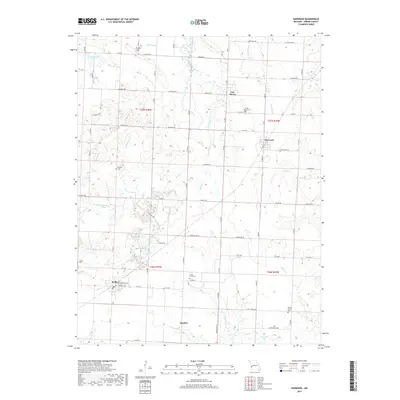
2017 Map of Harwood
USGS Topo · Published 2017About this map
Walker sits at the intersection of local routes in this Vernon County landscape, anchored by the residential grid of E Barrett Ave and E Marvin Ave. The surrounding countryside is defined by small agricultural settlements and a network of cemeteries that serve as vital touchstones for family historians, including Bethany Cem, Green Mound Cem, and Living Faith Cem. The terrain is shaped by a complex drainage system where Hightower Cr and Coal Cr carve through the prairie, leading north toward the lowlands of Hog Slough.
Find a feature on this map
57 named features on this map. Tap any name to fly to it.
Don’t see what you’re looking for? This feature index may not catch every label — zoom into the map to look around manually.
Map Details
Editions of this 2017 Harwood Map
This is the sole edition of this map. No revisions or reprints were ever made.
Other maps of this area

1886 · Nevada
USGS Topo · 1:125,000

1887 · Butler
USGS Topo · 1:125,000

1894 · Butler
USGS Topo · 1:125,000

1894 · Nevada
USGS Topo · 1:125,000

1933 · Camp Clark
USGS Topo · 1:24,000

1934 · Papinsville
USGS Topo · 1:24,000

1934 · Rockville
USGS Topo · 1:24,000

1936 · Rich Hill
USGS Topo · 1:24,000

1938 · Horton
USGS Topo · 1:24,000

1939 · Horton
USGS Topo · 1:24,000