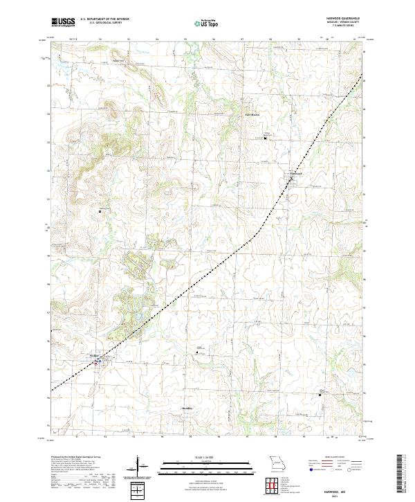
2021 Map of Harwood
USGS Topo · Published 2021About this map
Fair Haven and Harwood anchor the landscape of northern Vernon County, where the plains are etched by an intricate network of drainage branches and creeks. To the south, the settlement of Walker sits along a busy local road corridor, while the small community of Handley occupies the southwestern reaches. The area is characterized by numerous historic burial sites, including Green Mound Cem and Mount Vernon Cem, which serve as vital markers of early settler history.
Find a feature on this map
61 named features on this map. Tap any name to fly to it.
Don’t see what you’re looking for? This feature index may not catch every label — zoom into the map to look around manually.
Map Details
Editions of this 2021 Harwood Map
This is the sole edition of this map. No revisions or reprints were ever made.
Other maps of this area

1886 · Nevada
USGS Topo · 1:125,000

1887 · Butler
USGS Topo · 1:125,000

1894 · Butler
USGS Topo · 1:125,000

1894 · Nevada
USGS Topo · 1:125,000

1933 · Camp Clark
USGS Topo · 1:24,000

1934 · Papinsville
USGS Topo · 1:24,000

1934 · Rockville
USGS Topo · 1:24,000

1936 · Rich Hill
USGS Topo · 1:24,000

1938 · Horton
USGS Topo · 1:24,000

1939 · Horton
USGS Topo · 1:24,000