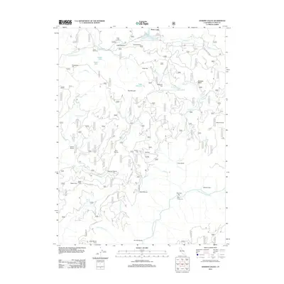
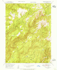
2012 Map of Haskins Valley
USGS Topo · Published 2012About this map
Bucks Lake serves as a primary geographical anchor in this part of Plumas County, with Haskins Bay and Bucks Lodge defining the northern recreation and settlement areas. The map reveals a landscape deeply connected to early ranching and mountain utility, marked by family-named sites such as Faggs Ranch, Grubbs Cow Camp, and the Paulson Place. These points, along with Darby Meadow, indicate a history of high-country land use that predates modern forest management.
Find a feature on this map
52 named features on this map. Tap any name to fly to it.
Don’t see what you’re looking for? This feature index may not catch every label — zoom into the map to look around manually.
Map Details
Editions of this 2012 Haskins Valley Map
This is the sole edition of this map. No revisions or reprints were ever made.
Other maps of this area

1888 · Bidwell Bar
USGS Topo · 1:125,000

1891 · Bidwell Bar
USGS Topo · 1:125,000

1893 · Bidwell Bar
USGS Topo · 1:125,000

1895 · Bidwell Bar
USGS Topo · 1:125,000

1897 · Bidwell Bar
USGS Topo · 1:125,000
1947 · Brush Creek
USGS Topo · 1:24,000

1948 · Big Bend Mtn
USGS Topo · 1:62,500
1948 · Mooreville Ridge
USGS Topo · 1:62,500
1948 · Cascade
USGS Topo · 1:24,000
1948 · American House
USGS Topo · 1:24,000