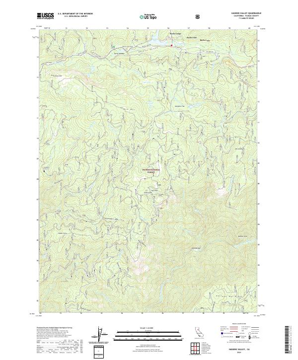
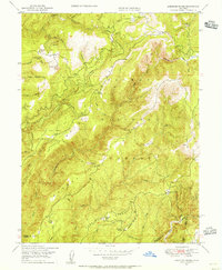
2021 Map of Haskins Valley
USGS Topo · Published 2021About this map
Bucks Lake and the surrounding reaches of the Plumas National Forest define this high-altitude landscape. The map details a complex network of drainages and seasonal flats, including Cedar Flat, Mosquito Flat, and Greens Flat, which sit between prominent rises like Frenchman Hill and Red Mtn. For genealogists and local historians, the Robinson Mine Cem provides a specific point of interest in the western portion of the quadrangle, hinting at the region's mining heritage. To the south, the Middle Fork Feather River carves through the terrain, joined by numerous named ravines and gulches such as Arkansas Ravine and China Gulch. Transportation is dominated by Bucks Lake Road and the high-elevation passage of the Pacific Crest National Scenic Trl, connecting the lakeside settlements to the steeper river canyons near Hartman Bar.
Find a feature on this map
58 named features on this map. Tap any name to fly to it.
Don’t see what you’re looking for? This feature index may not catch every label — zoom into the map to look around manually.
Map Details
Editions of this 2021 Haskins Valley Map
This is the sole edition of this map. No revisions or reprints were ever made.
Other maps of this area

1888 · Bidwell Bar
USGS Topo · 1:125,000

1891 · Bidwell Bar
USGS Topo · 1:125,000

1893 · Bidwell Bar
USGS Topo · 1:125,000

1895 · Bidwell Bar
USGS Topo · 1:125,000

1897 · Bidwell Bar
USGS Topo · 1:125,000
1947 · Brush Creek
USGS Topo · 1:24,000

1948 · Big Bend Mtn
USGS Topo · 1:62,500
1948 · Mooreville Ridge
USGS Topo · 1:62,500
1948 · Cascade
USGS Topo · 1:24,000
1948 · American House
USGS Topo · 1:24,000