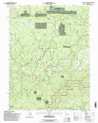
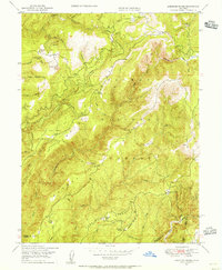
1994 Map of Haskins Valley
USGS Topo · Published 1999About this map
Bucks Lake and its surrounding mountain terrain define this portion of the Plumas National Forest in the mid-1990s. The landscape is a study in the intersection of seasonal recreation and historic resource extraction, where the Haskins Valley Summer Home Tract and Haskins Resort sit alongside long-established mining operations like the Martin Mine and Ontop Mine. The map reveals a network of water management features, including Faggs Reservoir and Faggs Debris Pond, necessary for managing the runoff from the high ridges down to the Middle Fork Feather River.
Find a feature on this map
76 named features on this map. Tap any name to fly to it.
Don’t see what you’re looking for? This feature index may not catch every label — zoom into the map to look around manually.
Map Details
Editions of this 1994 Haskins Valley Map
This is the sole edition of this map. No revisions or reprints were ever made.
Other maps of this area

1888 · Bidwell Bar
USGS Topo · 1:125,000

1891 · Bidwell Bar
USGS Topo · 1:125,000

1893 · Bidwell Bar
USGS Topo · 1:125,000

1895 · Bidwell Bar
USGS Topo · 1:125,000

1897 · Bidwell Bar
USGS Topo · 1:125,000
1947 · Brush Creek
USGS Topo · 1:24,000

1948 · Big Bend Mtn
USGS Topo · 1:62,500
1948 · Mooreville Ridge
USGS Topo · 1:62,500
1948 · Cascade
USGS Topo · 1:24,000
1948 · American House
USGS Topo · 1:24,000