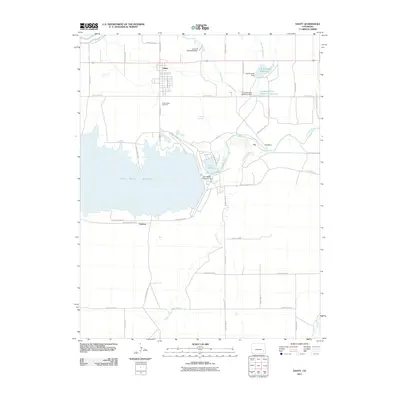
2011 Map of Hasty
USGS Topo · Published 2011About this map
The settlement of Hasty and the engineered waters of the Arkansas River valley define this corner of Bent County. The landscape is dominated by the sprawling John Martin Reservoir, held by the massive John Martin Reservoir Dam and bordered by the smaller Lake Hasty. This area highlights the complex water management systems of the high plains, featuring an intricate network of irrigation and flood control works including the Lubers Drainage Ditch, Levere Ditch, and Dingwall Ditch Retention Reservoir.
Find a feature on this map
41 named features on this map. Tap any name to fly to it.
Don’t see what you’re looking for? This feature index may not catch every label — zoom into the map to look around manually.
Map Details
Editions of this 2011 Hasty Map
This is the sole edition of this map. No revisions or reprints were ever made.
Other maps of this area
1891 · Higbee
USGS Topo · 1:125,000
1891 · Las Animas
USGS Topo · 1:125,000
1892 · Lamar
USGS Topo · 1:125,000
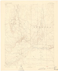
1892 · Two Butte
USGS Topo · 1:125,000
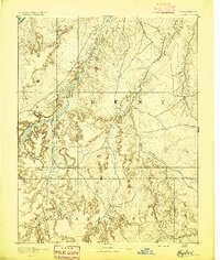
1893 · Higbee
USGS Topo · 1:125,000
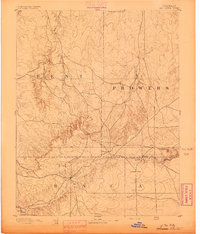
1893 · Two Butte
USGS Topo · 1:125,000
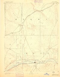
1893 · Las Animas
USGS Topo · 1:125,000
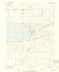
1953 · Hasty
USGS Topo · 1:24,000
1953 · Prowers
USGS Topo · 1:24,000
1953 · Kreybill
USGS Topo · 1:24,000