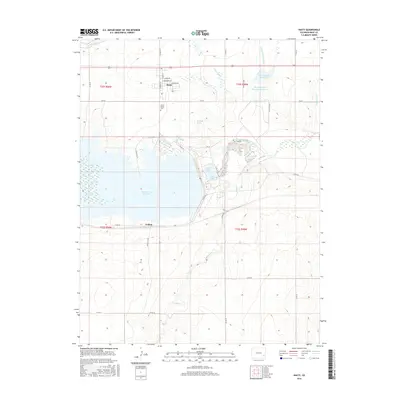
2016 Map of Hasty
USGS Topo · Published 2016About this map
The Arkansas River and the massive basin of the John Martin Reservoir dominate this eastern Colorado landscape, revealing a sophisticated network of water management infrastructure. Irrigation and drainage are central to the region's character, as seen in the paths of the Fort Lyon Canal, Lexere Ditch, and Lubers Drainage Ditch, alongside smaller impoundments like the G W Verhoeff Reservoir. This concentration of water engineering suggests a landscape deeply transformed for agricultural and flood control purposes.
Find a feature on this map
37 named features on this map. Tap any name to fly to it.
Don’t see what you’re looking for? This feature index may not catch every label — zoom into the map to look around manually.
Map Details
Editions of this 2016 Hasty Map
This is the sole edition of this map. No revisions or reprints were ever made.
Other maps of this area

1891 · Higbee
USGS Topo · 1:125,000

1891 · Las Animas
USGS Topo · 1:125,000

1892 · Lamar
USGS Topo · 1:125,000

1892 · Two Butte
USGS Topo · 1:125,000

1893 · Higbee
USGS Topo · 1:125,000

1893 · Two Butte
USGS Topo · 1:125,000

1893 · Las Animas
USGS Topo · 1:125,000

1953 · Hasty
USGS Topo · 1:24,000

1953 · Prowers
USGS Topo · 1:24,000

1953 · Kreybill
USGS Topo · 1:24,000