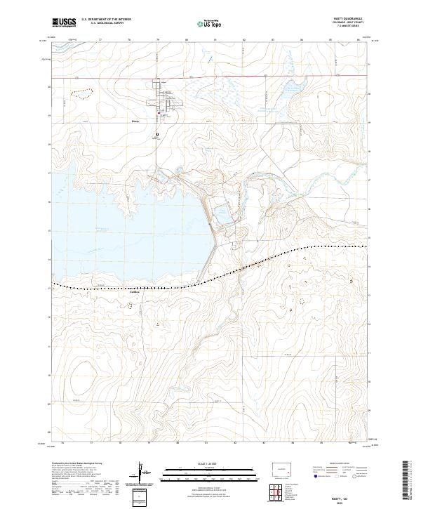
2022 Map of Hasty
USGS Topo · Published 2022About this map
The Arkansas River and its massive impoundment at John Martin Reservoir dominate this eastern Colorado landscape, reflecting a century of water management in Bent County. The small settlement of Hasty is neatly platted south of the Fort Lyon Canal, serving as a gateway to the recreation areas surrounding Lake Hasty. Genealogical interest centers on the Union Valley Cem located just south of the town's main residential grid.
Find a feature on this map
40 named features on this map. Tap any name to fly to it.
Don’t see what you’re looking for? This feature index may not catch every label — zoom into the map to look around manually.
Map Details
Editions of this 2022 Hasty Map
This is the sole edition of this map. No revisions or reprints were ever made.
Other maps of this area

1891 · Higbee
USGS Topo · 1:125,000

1891 · Las Animas
USGS Topo · 1:125,000

1892 · Lamar
USGS Topo · 1:125,000

1892 · Two Butte
USGS Topo · 1:125,000

1893 · Higbee
USGS Topo · 1:125,000

1893 · Two Butte
USGS Topo · 1:125,000

1893 · Las Animas
USGS Topo · 1:125,000

1953 · Hasty
USGS Topo · 1:24,000

1953 · Prowers
USGS Topo · 1:24,000

1953 · Kreybill
USGS Topo · 1:24,000