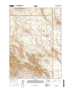
2017 Map of Hat Butte
USGS Topo · Published 2017About this map
Hat Butte stands as a prominent topographical landmark in this high-desert region of Central Oregon, marking the intersection of Deschutes, Harney, and Lake counties. The landscape is defined by its arid hydrology, characterized by a series of small, scattered catchments and basins such as Boundary Lake, Sitz Lake, and Hat Lake. Man-made water management is evident through the presence of several isolated basins, including Mercury Reservoir, Black Rock Reservoir, and N Glass Butte Reservoir. Human infrastructure in this corner of the state is sparse, limited primarily to Bush Well Rd and the broad, level expanse of Wise Flat. This 2017 survey illustrates the persistence of traditional land management and water storage practices in a remote volcanic landscape, where landmarks like Midnight Point serve as critical navigational markers across the county boundaries.
Find a feature on this map
21 named features on this map. Tap any name to fly to it.
Don’t see what you’re looking for? This feature index may not catch every label — zoom into the map to look around manually.
Map Details
Editions of this 2017 Hat Butte Map
This is the sole edition of this map. No revisions or reprints were ever made.
Other maps of this area

1955 · Crescent
USGS Topo · 1:250,000

1955 · Burns
USGS Topo · 1:250,000

1957 · Crescent
USGS Topo · 1:250,000

1958 · Crescent
USGS Topo · 1:250,000

1958 · Burns
USGS Topo · 1:250,000

1959 · Burns
USGS Topo · 1:250,000

1970 · Crescent
USGS Topo · 1:250,000

1980 · Round Top Butte
USGS Topo · 1:24,000

1980 · Hay Lake
USGS Topo · 1:24,000

1981 · Hat Butte
USGS Topo · 1:24,000