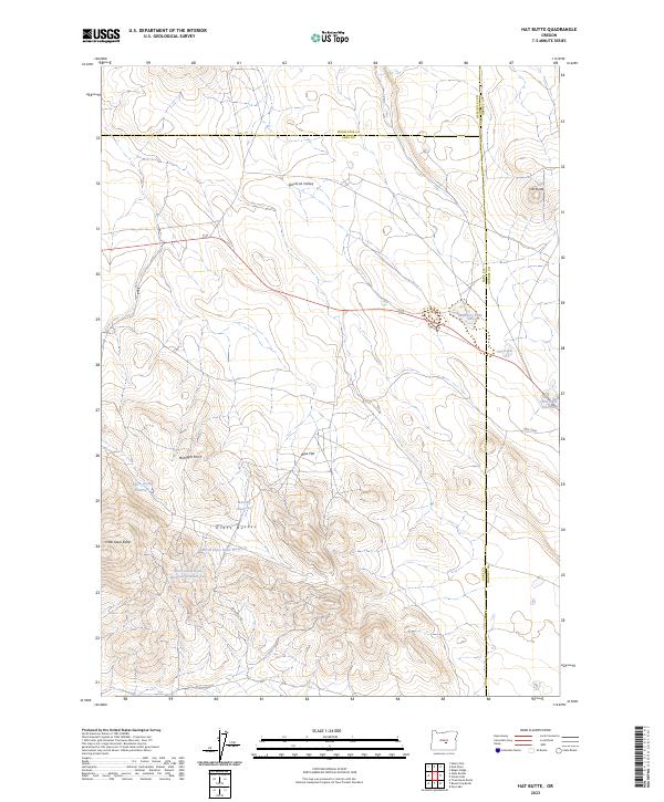
2023 Map of Hat Butte
USGS Topo · Published 2023About this map
Glass Buttes and Little Glass Butte dominate this high-desert landscape in northern Lake County, an area defined by its volcanic geology and sparse water resources. The terrain is marked by significant topographic shifts, ranging from the volcanic heights to the broad expanse of Wise Flat and Gilchrist Valley. Settlement is virtually absent, with the map recording a network of livestock or wildlife water sources such as Mercury Reservoir, North Glass Butte Reservoir, and Black Rock Reservoir.
Find a feature on this map
25 named features on this map. Tap any name to fly to it.
Don’t see what you’re looking for? This feature index may not catch every label — zoom into the map to look around manually.
Map Details
Editions of this 2023 Hat Butte Map
This is the sole edition of this map. No revisions or reprints were ever made.
Other maps of this area

1955 · Crescent
USGS Topo · 1:250,000

1955 · Burns
USGS Topo · 1:250,000

1957 · Crescent
USGS Topo · 1:250,000

1958 · Crescent
USGS Topo · 1:250,000

1958 · Burns
USGS Topo · 1:250,000

1959 · Burns
USGS Topo · 1:250,000

1970 · Crescent
USGS Topo · 1:250,000

1980 · Round Top Butte
USGS Topo · 1:24,000

1980 · Hay Lake
USGS Topo · 1:24,000

1981 · Hat Butte
USGS Topo · 1:24,000