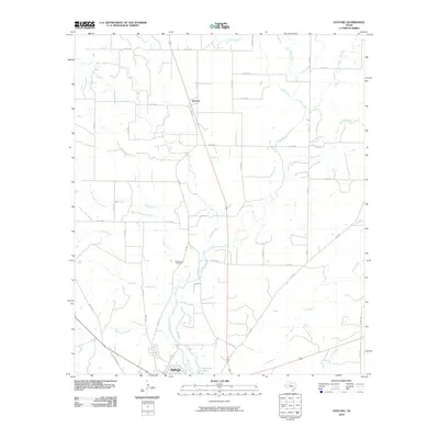
2010 Map of Hatchel
USGS Topo · Published 2010About this map
Ballinger sits at the southern edge of this West Texas landscape, where the confluence of several seasonal waterways defines the local geography. The area's history is anchored by the Old Runnels Cemetery, a vital landmark for genealogists tracing early families in Runnels County. Further north, the settlement of Hatchel is positioned along the transit corridor of FM 2887, surrounded by a network of drainage systems including Coyote Creek and Turkey Creek. The terrain is characterized by these meandering creek beds and their many tributaries, such as Flag Branch and Rattlesnake Creek, which eventually feed toward Elm Creek Lake. This map captures a rural environment structured around water access and a grid of county roads that have supported the region's agricultural life for generations.
Find a feature on this map
44 named features on this map. Tap any name to fly to it.
Don’t see what you’re looking for? This feature index may not catch every label — zoom into the map to look around manually.
Map Details
Editions of this 2010 Hatchel Map
This is the sole edition of this map. No revisions or reprints were ever made.
Other maps of this area

1891 · Hayrick
USGS Topo · 1:125,000

1892 · Ballinger
USGS Topo · 1:125,000

1894 · Hayrick
USGS Topo · 1:125,000

1921 · Hatchel
USGS Topo · 1:31,680

1921 · Quarry Creek
USGS Topo · 1:31,680

1921 · Spur Creek
USGS Topo · 1:31,680

1921 · Rowena
USGS Topo · 1:31,680

1932 · Paint Rock
USGS Topo · 1:62,500

1954 · Brownwood
USGS Topo · 1:250,000

1954 · San Angelo
USGS Topo · 1:250,000