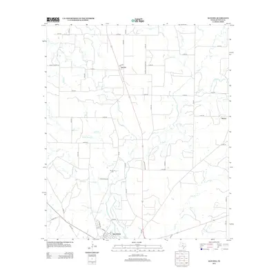
2013 Map of Hatchel
USGS Topo · Published 2013About this map
Old Runnels Cem provides a significant touchstone for genealogical research in this rural portion of Runnels County, situated near the western bank of Elm Cr. The landscape is defined by an intricate network of drainage ways including Coyote Cr, Turkey Cr, and Rattlesnake Cr that converge as they flow toward the northern outskirts of Ballinger. Small settlements like Hatchel and Blanton serve as quiet anchors for the surrounding agricultural community, connected by a grid of county roads such as Barnett-Hatchell Rd and Hatchell-Eagle Branch Rd. This 2013 survey illustrates the modern persistence of historic place names and land use patterns, where local roads often follow property boundaries established decades earlier in this central Texas ranching and farming region.
Find a feature on this map
59 named features on this map. Tap any name to fly to it.
Don’t see what you’re looking for? This feature index may not catch every label — zoom into the map to look around manually.
Map Details
Editions of this 2013 Hatchel Map
This is the sole edition of this map. No revisions or reprints were ever made.
Other maps of this area

1891 · Hayrick
USGS Topo · 1:125,000

1892 · Ballinger
USGS Topo · 1:125,000

1894 · Hayrick
USGS Topo · 1:125,000

1921 · Hatchel
USGS Topo · 1:31,680

1921 · Quarry Creek
USGS Topo · 1:31,680

1921 · Spur Creek
USGS Topo · 1:31,680

1921 · Rowena
USGS Topo · 1:31,680

1932 · Paint Rock
USGS Topo · 1:62,500

1954 · Brownwood
USGS Topo · 1:250,000

1954 · San Angelo
USGS Topo · 1:250,000