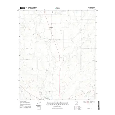
2016 Map of Hatchel
USGS Topo · Published 2016About this map
The settlement of Hatchel sits at a crossroads along US Route 83, serving as a quiet focal point in this agricultural region of Runnels County. Just to the south, the northern reaches of Ballinger come into view, showing the residential layout of streets like Highland Dr and Hillcrest Ave as the town meets the surrounding ranchland. This landscape is defined by its drainage patterns, with the significant corridor of Elm Creek and various tributaries like Rattlesnake Cr and Bears Foot Cr carving through the terrain.
Find a feature on this map
57 named features on this map. Tap any name to fly to it.
Don’t see what you’re looking for? This feature index may not catch every label — zoom into the map to look around manually.
Map Details
Editions of this 2016 Hatchel Map
This is the sole edition of this map. No revisions or reprints were ever made.
Other maps of this area

1891 · Hayrick
USGS Topo · 1:125,000

1892 · Ballinger
USGS Topo · 1:125,000

1894 · Hayrick
USGS Topo · 1:125,000

1921 · Hatchel
USGS Topo · 1:31,680

1921 · Quarry Creek
USGS Topo · 1:31,680

1921 · Spur Creek
USGS Topo · 1:31,680

1921 · Rowena
USGS Topo · 1:31,680

1932 · Paint Rock
USGS Topo · 1:62,500

1954 · Brownwood
USGS Topo · 1:250,000

1954 · San Angelo
USGS Topo · 1:250,000