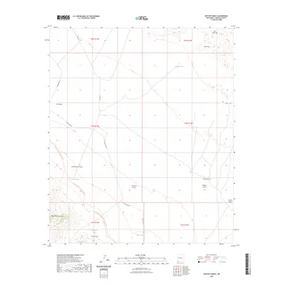
2023 Map of Hatchet Ranch
USGS Topo · Published 2023About this map
The Continental Divide National Scenic Trl winds through this high-desert landscape in the southern reaches of Hidalgo County. This modern survey illustrates a remote ranching and transit corridor defined by the Big Hatchet Mountains and Sierra Rica. The terrain is deeply incised by drainages such as Ram Gorge, Horse Pasture Canyon, and Dark Canyon, which lead toward the Hachita Valley.
Find a feature on this map
25 named features on this map. Tap any name to fly to it.
Don’t see what you’re looking for? This feature index may not catch every label — zoom into the map to look around manually.
Map Details
Editions of this 2023 Hatchet Ranch Map
This is the sole edition of this map. No revisions or reprints were ever made.
Other maps of this area

1918 · Big Hatchet Peak
USGS Topo · 1:62,500

1918 · Hachita
USGS Topo · 1:62,500

1918 · Victorio
USGS Topo · 1:62,500

1955 · Douglas
USGS Topo · 1:250,000

1959 · Douglas
USGS Topo · 1:250,000

1961 · Douglas
USGS Topo · 1:250,000

1964 · Douglas
USGS Topo · 1:250,000
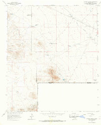
1965 · Victorio Ranch
USGS Topo · 1:24,000
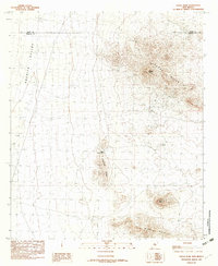
1982 · Doyle Peak
USGS Topo · 1:24,000
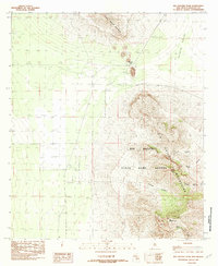
1982 · Big Hatchet Peak
USGS Topo · 1:24,000