
1918 Map of Hachita
USGS Topo · Published 1918About this map
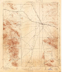
Mining operations and railroad expansion define this desert landscape near the Mexican border during the First World War era. The Hachita rail junction serves as a central hub where the El Paso and Southwestern meets the Arizona and New Mexico tracks. To the west, the Little Hachita Mountains are marked by significant mineral activity, including the Copper Dick Mine and the already labeled defunct settlements of Sylvanite and Gold Hill.
Find a feature on this map
32 named features on this map. Tap any name to fly to it.
Don’t see what you’re looking for? This feature index may not catch every label — zoom into the map to look around manually.
Map Details
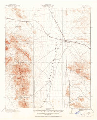
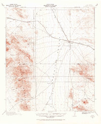
Editions of this 1918 Hachita Map
4 editions found
Other maps of this area

1918 · Big Hatchet Peak
USGS Topo · 1:62,500

1918 · Walnut Wells
USGS Topo · 1:62,500

1918 · Victorio
USGS Topo · 1:62,500

1918 · Playas
USGS Topo · 1:62,500

1919 · Playas
USGS Topo · 1:62,500

1923 · Walnut Wells
USGS Topo · 1:62,500

1954 · Silver City
USGS Topo · 1:250,000

1955 · Douglas
USGS Topo · 1:250,000

1958 · Silver City
USGS Topo · 1:250,000

1959 · Douglas
USGS Topo · 1:250,000