
1919 Map of Playas
USGS Topo · Published 1919About this map
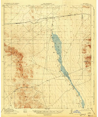
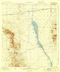
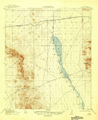
Playas Lake dominates the central basin of this high-desert landscape in Grant County, surveyed just before the end of the Great War. The ephemeral shoreline of the lakebed stretches north-to-south, bounded to the west by the steep elevations of the Animas Mountains. Transportation across this arid corridor was defined by the El Paso and Southwestern railroad, which provided a vital link for the small settlement at Playas and the rail stop at Antelope. Ranching interests are clearly marked by the Whitmire Ranch, situated near the southern tip of the lakebed, and the eponymous Whitmire Pass that cuts through the mountains to the west. This map records the early 20th-century infrastructure of the Playas Valley, where the railroad and isolated ranching outposts formed the backbone of human presence in a territory largely defined by its dramatic topography.
Find a feature on this map
7 named features on this map. Tap any name to fly to it.
Don’t see what you’re looking for? This feature index may not catch every label — zoom into the map to look around manually.
Map Details
Editions of this 1919 Playas Map
4 editions found
Other maps of this area

1918 · Big Hatchet Peak
USGS Topo · 1:62,500

1918 · Hachita
USGS Topo · 1:62,500

1918 · Walnut Wells
USGS Topo · 1:62,500

1918 · Playas
USGS Topo · 1:62,500

1918 · Animas Peak
USGS Topo · 1:62,500

1918 · Pratt
USGS Topo · 1:62,500

1919 · Pratt
USGS Topo · 1:62,500

1920 · Animas Peak
USGS Topo · 1:62,500

1923 · Walnut Wells
USGS Topo · 1:62,500

1954 · Silver City
USGS Topo · 1:250,000