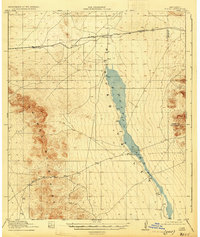
1919 Map of Playas
USGS Topo · Published 1931About this map
The arid Playas Valley of New Mexico is dominated by the seasonal waters of Playas Lake, which stretches nearly the entire length of this survey. To the west, the Animas Mountains rise sharply from the basin floor, where Whitmire Pass provides a navigable route through the high peaks. The region’s connectivity in the early twentieth century was defined by the El Paso and Southwestern railroad, which skirts the northern end of the basin, supporting the small settlement of Playas and the rail stop at Antelope. Family-run operations like Whitmire Ranch near the lakeshore illustrate the scattered ranching life of the era, while the map also tracks the shifting administrative boundary between Hidalgo and Grant counties.
Find a feature on this map
9 named features on this map. Tap any name to fly to it.
Don’t see what you’re looking for? This feature index may not catch every label — zoom into the map to look around manually.
Map Details
Editions of this 1919 Playas Map
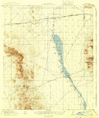
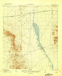
4 editions found
Other maps of this area

1918 · Big Hatchet Peak
USGS Topo · 1:62,500

1918 · Hachita
USGS Topo · 1:62,500

1918 · Walnut Wells
USGS Topo · 1:62,500

1918 · Playas
USGS Topo · 1:62,500

1918 · Animas Peak
USGS Topo · 1:62,500

1918 · Pratt
USGS Topo · 1:62,500

1919 · Pratt
USGS Topo · 1:62,500

1919 · Playas
USGS Topo · 1:62,500

1920 · Animas Peak
USGS Topo · 1:62,500

1923 · Walnut Wells
USGS Topo · 1:62,500