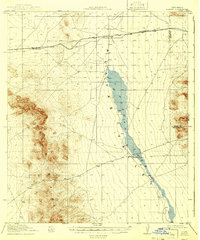
1919 Map of Playas
USGS Topo · Published 1941About this map
The El Paso and Southwestern railroad cuts a straight horizontal path across this arid New Mexico landscape, anchoring the small settlement of Playas. This 1917–1918 survey illustrates a high-desert environment where water and transport dictate human presence. The massive Playas Lake dominates the central valley, a seasonal feature flanked by the steep elevations of the Animas Mountains to the west. Evidence of early ranching and travel through the mountain gaps is preserved here, most notably at Whitmire Ranch and the nearby Whitmire Pass. Small stops like Antelope further mark the rail line, while the political boundary between Hidalgo and Grant County runs through the eastern flats. The map captures a moment when this borderland region relied heavily on the railway for its connection to the outside world.
Find a feature on this map
9 named features on this map. Tap any name to fly to it.
Don’t see what you’re looking for? This feature index may not catch every label — zoom into the map to look around manually.
Map Details
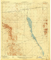
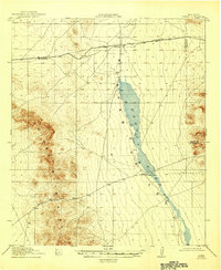
Editions of this 1919 Playas Map
4 editions found
Other maps of this area

1918 · Big Hatchet Peak
USGS Topo · 1:62,500

1918 · Hachita
USGS Topo · 1:62,500

1918 · Walnut Wells
USGS Topo · 1:62,500

1918 · Playas
USGS Topo · 1:62,500

1918 · Animas Peak
USGS Topo · 1:62,500

1918 · Pratt
USGS Topo · 1:62,500

1919 · Pratt
USGS Topo · 1:62,500

1919 · Playas
USGS Topo · 1:62,500

1920 · Animas Peak
USGS Topo · 1:62,500

1923 · Walnut Wells
USGS Topo · 1:62,500