Loading...
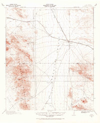
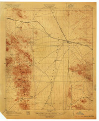
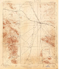
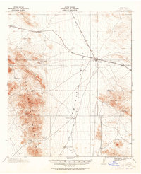
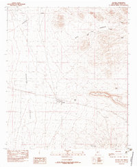
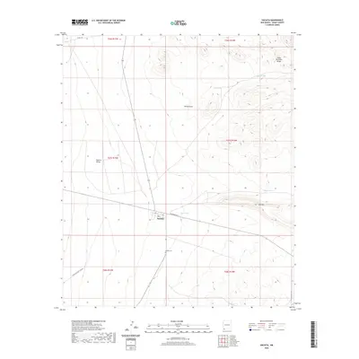
Loading map...1918 Map of Hachita
USGS Topo · Published 1968About this map
Hachita serves as the central hub of this desert landscape during the late 1910s, situated at the junction of the El Paso and Southwestern and the Arizona and New Mexico railroads. The mining history of Grant and Hidalgo counties is evident in the transition from Old Hachita to the newer rail-aligned settlement, alongside active and inactive extraction sites like the Copper Dick Mine and the Apache Mine.
Find a feature on this map
39 named features on this map. Tap any name to fly to it.
Don’t see what you’re looking for? This feature index may not catch every label — zoom into the map to look around manually.
Map Details
Date Portrayed1918
Date Published1968
PublisherU.S. Geological Survey
Map TypeTopographic
Scale1:62,500
Physical Dimensions17 x 21 inches
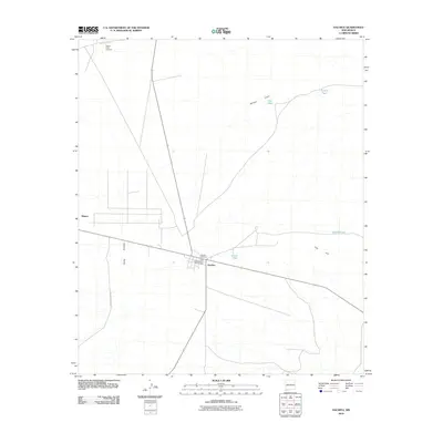
Editions of this 1918 Hachita Map
4 editions found
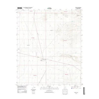
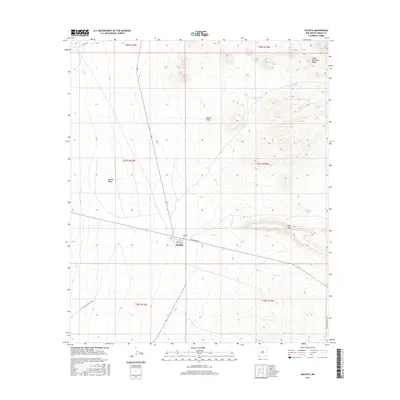
Historical Maps of Hachita Through Time
7 maps found
Featured Locations
Source Details
SourceU.S. Geological Survey
CopyrightPublic Domain