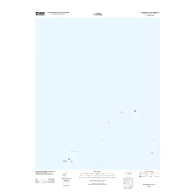
2013 Map of Hatteras OE N
USGS Topo · Published 2013About this map
Pamlico Sound dominates this maritime survey, revealing the complex bathymetry of North Carolina’s Outer Banks region. The map highlights critical navigational features used by mariners navigating the shifting sands of the sound, including the Rollinson Channel Light and Frisco Light. These beacons guide vessels through a network of submerged hazards and deeper passages such as Kings Channel, Rawlinsons Channel, and the winding Old Rollinson Channel. Landforms are sparse in this aquatic landscape, primarily represented by the small outcrops of the Bird Islands. The presence of numerous shoals, such as Clam Shoal, Log Shoal, and Egg Shoal, illustrates the treacherous underwater topography that has historically shaped the fishing and maritime traditions of Dare County. This 2013 data provides a modern record of these seafloor features before they are further reshaped by Atlantic tides.
Find a feature on this map
11 named features on this map. Tap any name to fly to it.
Don’t see what you’re looking for? This feature index may not catch every label — zoom into the map to look around manually.
Map Details
Editions of this 2013 Hatteras OE N Map
This is the sole edition of this map. No revisions or reprints were ever made.
Other maps of this area

1948 · Cape Hatteras
USGS Topo · 1:24,000

1948 · Buxton
USGS Topo · 1:24,000

1950 · Cape Hatteras
USGS Topo · 1:24,000

1950 · Buxton
USGS Topo · 1:24,000
1950 · Green Island
USGS Topo · 1:24,000

1955 · Wanchese
USGS Topo · 1:250,000

1957 · Manteo
USGS Topo · 1:250,000

1960 · Manteo
USGS Topo · 1:250,000

1985 · Cape Hatteras
USGS Topo · 1:100,000

2002 · Cape Hatteras
USGS Topo · 1:24,000