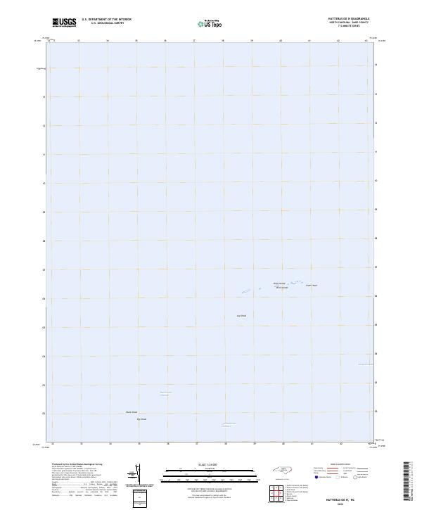
2022 Map of Hatteras OE N
USGS Topo · Published 2022About this map
Birds Island and the neighboring Bird Islands sit amidst a complex network of shallow waters and navigation paths in this coastal Dare County survey. The map document's the submerged topography and shifting shoals of the Pamlico Sound region, where marine navigation is guided by features like Rawlinsons Channel and Kings Channel. This environment is defined by its sandbars and shoals, including Clam Shoal, Shark Shoal, and Egg Shoal, which illustrate the volatile nature of the North Carolina coastline.
Find a feature on this map
15 named features on this map. Tap any name to fly to it.
Don’t see what you’re looking for? This feature index may not catch every label — zoom into the map to look around manually.
Map Details
Editions of this 2022 Hatteras OE N Map
This is the sole edition of this map. No revisions or reprints were ever made.
Other maps of this area

1948 · Cape Hatteras
USGS Topo · 1:24,000

1948 · Buxton
USGS Topo · 1:24,000

1950 · Cape Hatteras
USGS Topo · 1:24,000

1950 · Buxton
USGS Topo · 1:24,000
1950 · Green Island
USGS Topo · 1:24,000

1955 · Wanchese
USGS Topo · 1:250,000

1957 · Manteo
USGS Topo · 1:250,000

1960 · Manteo
USGS Topo · 1:250,000

1985 · Cape Hatteras
USGS Topo · 1:100,000

2002 · Cape Hatteras
USGS Topo · 1:24,000