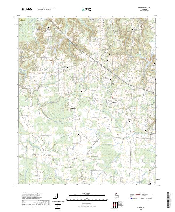
2024 Map of Hatton
USGS Topo · Published 2024About this map
Hatton and its surrounding communities are defined by a network of rural roads and cemeteries that speak to the deep-rooted family histories of Lawrence County. The landscape is etched with watercourses such as Rutherford Creek, Wolf Creek, and Town Creek, which drain the varied terrain of the Tennessee Valley region. Distinctive topographical features like Black Ground Mtn and Pilot Knob rise above the valleys, while the presence of numerous family burial grounds, including the Roden Cem, Beavers Cem, and Sanderson Cem, provides a significant record of the local genealogy.
Find a feature on this map
127 named features on this map. Tap any name to fly to it.
Don’t see what you’re looking for? This feature index may not catch every label — zoom into the map to look around manually.
Map Details
Editions of this 2024 Hatton Map
This is the sole edition of this map. No revisions or reprints were ever made.
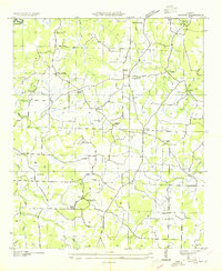
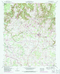
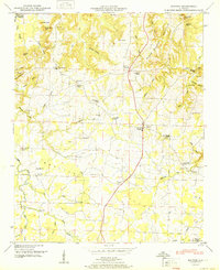
Historical Maps of Ne Smith Through Time
4 maps found