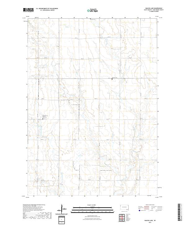
2021 Map of Haucks Lake
USGS Topo · Published 2021About this map
Emanuel Creek and its tributary Little Emanuel Creek define the drainage patterns of this Bon Homme County landscape. The area is characterized by a precise grid of rural section lines, including 413th Ave and 300th St, which partition the agricultural terrain. Significant cultural landmarks are concentrated near these waterways, notably the Emanuel Creek Baptisten Kirche Cem, reflecting the German-heritage congregations that settled the region. To the north and east, the Immanuel Cem and Wittmeier Cem serve as further markers of local family lineages and early prairie communities. Centrally located within this township network, Haucks Lake provides a distinct hydrological feature amidst the surrounding fields and draws.
Find a feature on this map
23 named features on this map. Tap any name to fly to it.
Don’t see what you’re looking for? This feature index may not catch every label — zoom into the map to look around manually.
Map Details
Editions of this 2021 Haucks Lake Map
This is the sole edition of this map. No revisions or reprints were ever made.
Other maps of this area

1898 · Olivet
USGS Topo · 1:125,000

1955 · Sioux City
USGS Topo · 1:250,000

1955 · Sioux Falls
USGS Topo · 1:250,000

1955 · Mitchell
USGS Topo · 1:250,000

1955 · O'Neill
USGS Topo · 1:250,000

1958 · Sioux City
USGS Topo · 1:250,000

1958 · Sioux Falls
USGS Topo · 1:250,000

1959 · O'Neill
USGS Topo · 1:250,000

1959 · Sioux City
USGS Topo · 1:250,000

1959 · Mitchell
USGS Topo · 1:250,000
Featured Places
- Monroe Township, SD
- Avon Township, SD
- Emanuel Township, SD
- Franklin Township, SD
- Dawson Hutterite Colony, SD