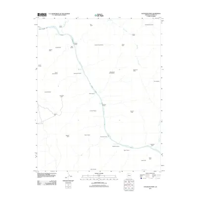
2011 Map of Havasupai Point
USGS Topo · Published 2011About this map
The Colorado River cuts a deep path through Coconino County, defining the central geography of this 2011 topographic survey. The landscape is characterized by its dramatic verticality, descending from heights like Fossil Mountain and Havasupai Point down to the water's edge. This stretch of the river is punctuated by numerous treacherous whitewater sections, including Shinumo Rapids, Bass Rapids, and the descriptively named Willies Necktie Rapids.
Find a feature on this map
46 named features on this map. Tap any name to fly to it.
Don’t see what you’re looking for? This feature index may not catch every label — zoom into the map to look around manually.
Map Details
Editions of this 2011 Havasupai Point Map
This is the sole edition of this map. No revisions or reprints were ever made.
Other maps of this area

1886 · Kaibab
USGS Topo · 1:250,000

1903 · Bright Angel
USGS Topo · 1:48,000

1906 · Bright Angel
USGS Topo · 1:48,000

1953 · Grand Canyon
USGS Topo · 1:250,000

1957 · Grand Canyon
USGS Topo · 1:250,000

1958 · Grand Canyon
USGS Topo · 1:250,000

1960 · Grand Canyon
USGS Topo · 1:250,000

1962 · Bright Angel
USGS Topo · 1:48,000

1962 · De Motte Park
USGS Topo · 1:62,500

1962 · Havasupai Point
USGS Topo · 1:62,500