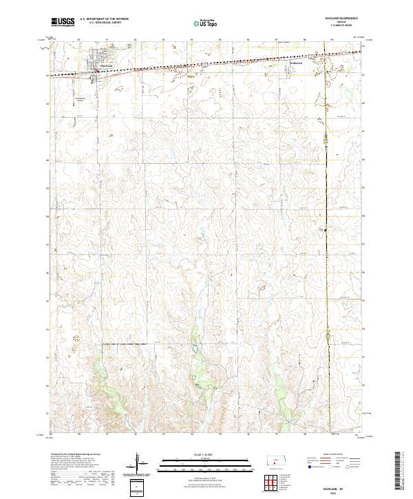
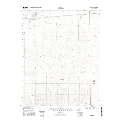
2022 Map of Haviland
USGS Topo · Published 2022About this map
Haviland serves as a local hub of education and community in Kiowa County, prominently featuring the Barclay College campus and its surrounding street grid of Poplar St and Chestnut St. The landscape transitions from the residential blocks of the town to the agricultural expanse of the High Plains, where the headwaters of Spring Cr and Soldier Cr begin to carve subtle drainage patterns through the terrain. To the west, the Gail Ballard Airport provides a localized aviation link, while the eastern edge of the survey captures the Kiowa and Pratt County line near the small community of Wellsford. Genealogists and local historians can locate the Boles Cem positioned on a high point overlooking the creek beds, offering a specific point of reference for family research in this rural Kansas township.
Find a feature on this map
40 named features on this map. Tap any name to fly to it.
Don’t see what you’re looking for? This feature index may not catch every label — zoom into the map to look around manually.
Map Details
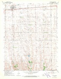
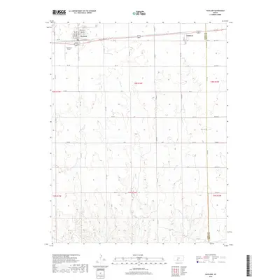
Editions of this 2022 Haviland Map
This is the sole edition of this map. No revisions or reprints were ever made.
Historical Maps of Haviland Through Time
6 maps found
Featured Locations
- Kiowa County, KS
- Pratt County, KS
- Kiowa Rural Township, KS
- Haviland, Kiowa Rural Township
- Wellsford, Kiowa Rural Township