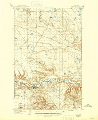
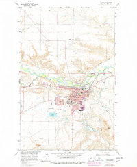
1958 Map of Havre
USGS Topo · Published 1958About this map
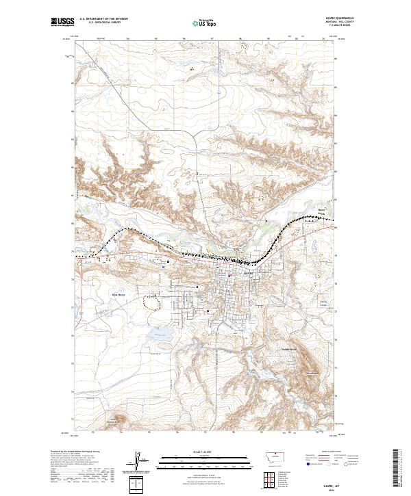
Havre serves as the primary hub of Montana's Hi-Line in the late 1950s, anchored by the Great Northern railroad which follows the course of the Milk River. The landscape is a mix of vast rangelands, coulees, and significant cultural landmarks, including the Fort Belknap Indian Reservation and the Rocky Boy Indian Reservation. Agriculture and conservation are prominent themes, evidenced by the North Montana Experimental Station and several wildlife sanctuaries like the Lake Thibadeau National Wildlife Refuge.
Find a feature on this map
87 named features on this map. Tap any name to fly to it.
Don’t see what you’re looking for? This feature index may not catch every label — zoom into the map to look around manually.
Map Details
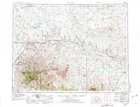
Editions of this 1958 Havre Map
This is the sole edition of this map. No revisions or reprints were ever made.
Historical Maps of Fairview Terrace Trailer Court Through Time
7 maps found