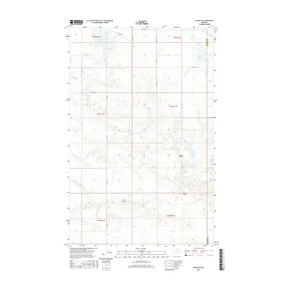
2017 Map of Havre NE
USGS Topo · Published 2017About this map
The rolling plains of the Hill and Blaine County line are defined by a network of drainage features and seasonal water bodies in this 2017 survey. Significant geographic markers include McLaren Coulee and Redrock Coulee, which channel the runoff across the high prairie. The hydrology of the area is further marked by several small basins, most notably Martin Lake in the northeast and the paired Grassy Lake and Dry Lake to the northwest. This modern topography reflects the persistent rural character of the Montana borderlands, where human presence is mostly indicated by a series of agricultural access paths such as PVT Crop Rd and PVT Field Rd. These roads provide access to the vast sections of the Public Land Survey System, including T35N R17E and T34N R16E, illustrating the enduring township and range grid that governs the region.
Find a feature on this map
17 named features on this map. Tap any name to fly to it.
Don’t see what you’re looking for? This feature index may not catch every label — zoom into the map to look around manually.
Map Details
Editions of this 2017 Havre NE Map
This is the sole edition of this map. No revisions or reprints were ever made.
Other maps of this area

1904 · Yantic
USGS Topo · 1:62,500

1904 · Havre
USGS Topo · 1:62,500

1912 · Zurich
USGS Topo · 1:125,000

1912 · Thibedeau Lake
USGS Topo · 1:125,000

1953 · Havre
USGS Topo · 1:250,000

1957 · Havre
USGS Topo · 1:250,000

1958 · Havre
USGS Topo · 1:250,000

1964 · Havre NW
USGS Topo · 1:24,000

1964 · Havre SE
USGS Topo · 1:24,000

1964 · Havre
USGS Topo · 1:24,000