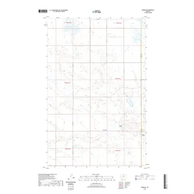
2020 Map of Havre NE
USGS Topo · Published 2020About this map
Hill Co Blaine Co defines the eastern edge of this northern Montana landscape, where the high plains are carved by a series of drainage channels and ephemeral basins. The terrain is marked by seasonal water bodies including Grassy Lake, Dry Lake, and Martin Lake, reflecting the arid environment of the Milk River watershed region. These water features were critical landmarks for early ranching and homesteading efforts in the area. Evidence of the local topography is found in the deeply etched coulees that traverse the prairie, specifically Coal Coulee, Mclaren Coulee, and Redrock Coulee. A grid of rural access routes, such as Shepherd Rd and Cassidy Rd, provides a framework for the modern agricultural parcels that occupy the townships of t34n r16e and t35n r17e.
Find a feature on this map
19 named features on this map. Tap any name to fly to it.
Don’t see what you’re looking for? This feature index may not catch every label — zoom into the map to look around manually.
Map Details
Editions of this 2020 Havre NE Map
This is the sole edition of this map. No revisions or reprints were ever made.
Other maps of this area

1904 · Yantic
USGS Topo · 1:62,500

1904 · Havre
USGS Topo · 1:62,500

1912 · Zurich
USGS Topo · 1:125,000

1912 · Thibedeau Lake
USGS Topo · 1:125,000

1953 · Havre
USGS Topo · 1:250,000

1957 · Havre
USGS Topo · 1:250,000

1958 · Havre
USGS Topo · 1:250,000

1964 · Havre NW
USGS Topo · 1:24,000

1964 · Havre SE
USGS Topo · 1:24,000

1964 · Havre
USGS Topo · 1:24,000