
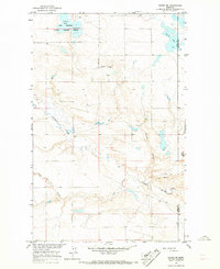
1964 Map of Havre NW
USGS Topo · Published 1967About this map
Willow Creek meanders through this portion of Hill County just south of the Canadian border during the mid-1960s. The landscape is defined by its drainage patterns, where significant seasonal watercourses such as Lohman Coulee, Staton Coulee, and Redrock Coulee carve through the plains. This era shows a rural community structure centered around the North Havre Community Hall and a nearby Landing Field, reflecting the importance of localized social hubs and aviation in the expansive Big Sky Country.
Find a feature on this map
10 named features on this map. Tap any name to fly to it.
Don’t see what you’re looking for? This feature index may not catch every label — zoom into the map to look around manually.
Map Details
Editions of this 1964 Havre NW Map
This is the sole edition of this map. No revisions or reprints were ever made.
Other maps of this area

1904 · Havre
USGS Topo · 1:62,500

1904 · Assinniboine
USGS Topo · 1:62,500

1912 · Thibedeau Lake
USGS Topo · 1:125,000

1953 · Havre
USGS Topo · 1:250,000

1957 · Havre
USGS Topo · 1:250,000

1958 · Havre
USGS Topo · 1:250,000

1964 · Havre SE
USGS Topo · 1:24,000

1964 · Havre
USGS Topo · 1:24,000
1964 · Havre NE
USGS Topo · 1:24,000
1970 · Herron Park
USGS Topo · 1:24,000