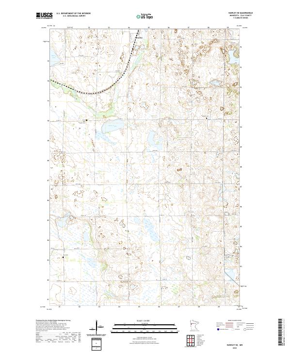
2022 Map of Hawley SE
USGS Topo · Published 2022About this map
The Buffalo River snakes through this section of Clay County just south of Hawley, defining a landscape of glacial lakes and prairie depressions. This 2022 topographical survey captures the rural character of the region, where the land is primarily divided by a grid of county roads such as Co RD 12 and Co HWY 31. The mapping reveals a high density of water bodies, including Silver Lake, Perch Lake, and Anfinson Lake, many of which appear to be part of the complex wetland systems characteristic of the Red River Valley’s eastern edge. For local historians and genealogists, the map identifies several significant burial sites that anchor the community's history, specifically Pioneer Cem, Hegland Cem, and Zion Cem. These locations, along with the meandering path of Hay Cr, provide clear landmarks for tracing land ownership and family heritage in a region defined by its agricultural roots and riparian geography.
Find a feature on this map
32 named features on this map. Tap any name to fly to it.
Don’t see what you’re looking for? This feature index may not catch every label — zoom into the map to look around manually.
Map Details
Editions of this 2022 Hawley SE Map
This is the sole edition of this map. No revisions or reprints were ever made.
Other maps of this area

1914 · Pelican Rapids
USGS Topo · 1:62,500

1917 · Pelican Rapids
USGS Topo · 1:62,500

1919 · Barnesville
USGS Topo · 1:62,500

1919 · Hawley
USGS Topo · 1:62,500

1952 · Barnesville
USGS Topo · 1:62,500

1953 · Fargo
USGS Topo · 1:250,000

1956 · Fargo
USGS Topo · 1:250,000
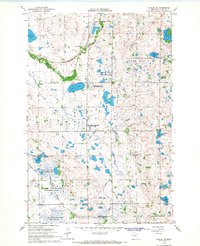
1966 · Hawley SE
USGS Topo · 1:24,000
1966 · Hawley NW
USGS Topo · 1:24,000
1966 · Dale
USGS Topo · 1:24,000