
1917 Map of Pelican Rapids
USGS Topo · Published 1917About this map
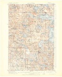
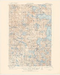
Pelican Rapids serves as the primary hub in this detailed 1913–1914 survey of the Pelican River valley. The landscape is defined by its dense concentration of glacial lakes, including the expansive Pelican Lake and Lake Lizzie, which supported early tourism at places like Dunn's Resort. The settlement pattern of the era is remarkably dense with rural social infrastructure, featuring dozens of numbered schoolhouses and community centers such as Swede Grove Church and South Emmanuel Church.
Find a feature on this map
89 named features on this map. Tap any name to fly to it.
Don’t see what you’re looking for? This feature index may not catch every label — zoom into the map to look around manually.
Map Details
Editions of this 1917 Pelican Rapids Map
3 editions found
Other maps of this area

1912 · Vergas
USGS Topo · 1:62,500

1913 · Fergus Falls
USGS Topo · 1:62,500

1914 · Pelican Rapids
USGS Topo · 1:62,500

1915 · Underwood
USGS Topo · 1:62,500

1915 · Vergas
USGS Topo · 1:62,500

1919 · Rothsay
USGS Topo · 1:62,500

1919 · Barnesville
USGS Topo · 1:62,500

1919 · Hawley
USGS Topo · 1:62,500

1951 · Rothsay
USGS Topo · 1:62,500

1952 · Barnesville
USGS Topo · 1:62,500