
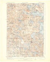
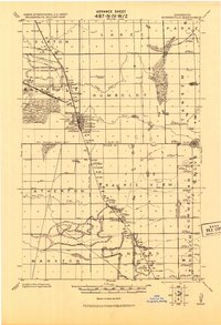
1917 Map of Pelican Rapids
USGS Topo · Published 1949About this map
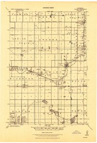
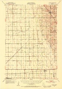
Pelican Rapids serves as the focal point for this survey of the lake-studded borderlands of Otter Tail, Clay, and Becker counties. The Northern Pacific railroad cuts a north-south line through the glacial terrain, connecting the village to the surrounding farmsteads and schools that defined early 20th-century life. The landscape is dominated by massive water bodies including Pelican Lake, Lake Lizzie, and Prairie Lake, which were already becoming centers for seasonal recreation as evidenced by Dunns Resort.
Find a feature on this map
91 named features on this map. Tap any name to fly to it.
Don’t see what you’re looking for? This feature index may not catch every label — zoom into the map to look around manually.
Map Details
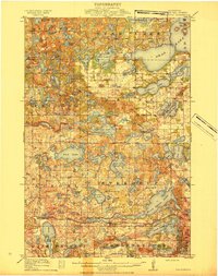
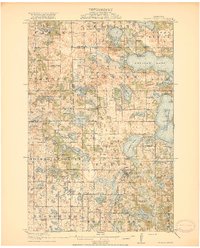
Editions of this 1917 Pelican Rapids Map
3 editions found
Other maps of this area

1912 · Vergas
USGS Topo · 1:62,500

1913 · Fergus Falls
USGS Topo · 1:62,500

1914 · Pelican Rapids
USGS Topo · 1:62,500
1915 · Underwood
USGS Topo · 1:62,500

1915 · Vergas
USGS Topo · 1:62,500
1917 · Pelican Rapids
USGS Topo · 1:62,500
1919 · Rothsay
USGS Topo · 1:62,500
1919 · Barnesville
USGS Topo · 1:62,500
1919 · Hawley
USGS Topo · 1:62,500
1951 · Rothsay
USGS Topo · 1:62,500