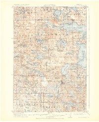
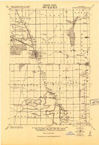
1917 Map of Pelican Rapids
USGS Topo · Published 1925About this map
Pelican Rapids serves as the primary hub for this portion of Otter Tail County during the 1910s, situated where the Northern Pacific railroad meets the winding Pelican River. The landscape is a complex glacial network of water bodies, including the massive Pelican Lake, Lake Lida, and Lake Lizzie. Rural life is meticulously documented through numbered school districts and named community centers such as Grove Lake School and Rollag School.
Find a feature on this map
89 named features on this map. Tap any name to fly to it.
Don’t see what you’re looking for? This feature index may not catch every label — zoom into the map to look around manually.
Map Details
Editions of this 1917 Pelican Rapids Map
3 editions found

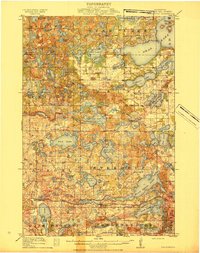
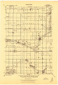
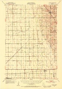
Other maps of this area

1912 · Vergas
USGS Topo · 1:62,500

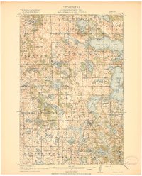
1913 · Fergus Falls
USGS Topo · 1:62,500

1914 · Pelican Rapids
USGS Topo · 1:62,500
1915 · Underwood
USGS Topo · 1:62,500

1915 · Vergas
USGS Topo · 1:62,500
1917 · Pelican Rapids
USGS Topo · 1:62,500
1919 · Rothsay
USGS Topo · 1:62,500
1919 · Barnesville
USGS Topo · 1:62,500
1919 · Hawley
USGS Topo · 1:62,500
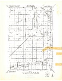
1951 · Rothsay
USGS Topo · 1:62,500