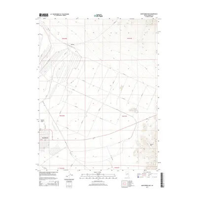
2014 Map of Hawthorne East
USGS Topo · Published 2014About this map
Thorne sits at a junction of roads and desert tracks in the high basin north of the Garfield Hills. This landscape is defined by the logistical and transport requirements of the high desert, evidenced by the expansive grid of industrial roads like Rocket Rd, Schurz Rd, and Poleline Rd. To the southwest, the edge of Hawthorne appears alongside the Hawthorne Industrial Airport, marking the area's transition from open terrain to a concentrated hub of transit and industry. The map's surveyed sections reveal a heavy reliance on a structured network of avenues and streets, including Grant Rd and Sierra Rd, which navigate the vast alluvial fans and rugged slopes typical of this region of Mineral County.
Find a feature on this map
41 named features on this map. Tap any name to fly to it.
Don’t see what you’re looking for? This feature index may not catch every label — zoom into the map to look around manually.
Map Details
Editions of this 2014 Hawthorne East Map
This is the sole edition of this map. No revisions or reprints were ever made.
Other maps of this area

1909 · Hawthorne
USGS Topo · 1:250,000

1911 · Hawthorne
USGS Topo · 1:250,000

1915 · Hawthorne
USGS Topo · 1:250,000

1948 · Walker Lake
USGS Topo · 1:250,000

1955 · Powell Mtn
USGS Topo · 1:62,500

1955 · Hawthorne
USGS Topo · 1:62,500

1957 · Walker Lake
USGS Topo · 1:250,000

1962 · Walker Lake
USGS Topo · 1:250,000

1964 · Walker Lake
USGS Topo · 1:250,000

1967 · Pamlico
USGS Topo · 1:24,000