
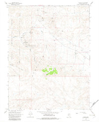
1967 Map of Pamlico
USGS Topo · Published 1969About this map
Mining operations and military reservations define this high-desert landscape in Mineral County during the late 1960s. The former settlement of Pamlico sits within the eponymous Pamlico Canyon, while the nearby La Panta serves as a reminder of the region's historical extraction efforts. The western edge of the map is dominated by the Naval Ammunition Depot, its boundary cutting through complex terrain. This map captures a specific transition in land use, where the gold and silver prospector's legacy, represented by dozens of named claims such as the Gold Bar Mine and Golden Eagle Mine, meets the strategic requirements of the Cold War era. Geologists and local historians can trace the network of unimproved roads and jeep trails that connect these isolated sites through deep drainages like Never Sweat Canyon and McGill Canyon.
Find a feature on this map
23 named features on this map. Tap any name to fly to it.
Don’t see what you’re looking for? This feature index may not catch every label — zoom into the map to look around manually.
Map Details
Editions of this 1967 Pamlico Map
2 editions found
Other maps of this area

1909 · Hawthorne
USGS Topo · 1:250,000

1911 · Hawthorne
USGS Topo · 1:250,000

1915 · Hawthorne
USGS Topo · 1:250,000

1948 · Walker Lake
USGS Topo · 1:250,000

1955 · Powell Mtn
USGS Topo · 1:62,500

1955 · Hawthorne
USGS Topo · 1:62,500

1957 · Walker Lake
USGS Topo · 1:250,000

1962 · Walker Lake
USGS Topo · 1:250,000

1964 · Walker Lake
USGS Topo · 1:250,000

1967 · Moho Mountain
USGS Topo · 1:24,000