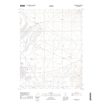
2018 Map of Hawthorne East
USGS Topo · Published 2018About this map
Thorne stands as a primary focal point in this high-desert landscape of Mineral County, positioned near the northern edge of the survey area. The terrain transitions from the developed grids of the Hawthorne Industrial Airport toward the rising elevations of the Garfield Hills in the southeast. This map reveals a complex infrastructure of logistics and transportation, evidenced by the dense network of numbered avenues and named corridors such as Schurz Rd, Rawhide Rd, and Rocket Rd. The industrial character of the region is further suggested by the presence of Freedom Rd and Sierra Rd, which serve a sprawling series of large-scale facilities. To the west, the Hawthorne Cem and a residential grid including 9th St mark the edge of local settlement, providing a detailed look at the interface between the town and its surrounding military or industrial support landscape during the late 2010s.
Find a feature on this map
58 named features on this map. Tap any name to fly to it.
Don’t see what you’re looking for? This feature index may not catch every label — zoom into the map to look around manually.
Map Details
Editions of this 2018 Hawthorne East Map
This is the sole edition of this map. No revisions or reprints were ever made.
Other maps of this area

1909 · Hawthorne
USGS Topo · 1:250,000

1911 · Hawthorne
USGS Topo · 1:250,000

1915 · Hawthorne
USGS Topo · 1:250,000

1948 · Walker Lake
USGS Topo · 1:250,000

1955 · Powell Mtn
USGS Topo · 1:62,500

1955 · Hawthorne
USGS Topo · 1:62,500

1957 · Walker Lake
USGS Topo · 1:250,000

1962 · Walker Lake
USGS Topo · 1:250,000

1964 · Walker Lake
USGS Topo · 1:250,000

1967 · Pamlico
USGS Topo · 1:24,000