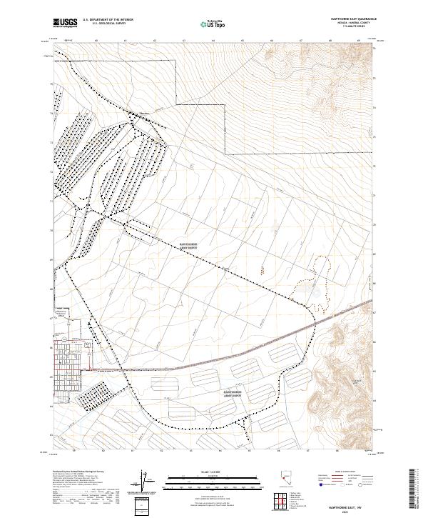
2021 Map of Hawthorne East
USGS Topo · Published 2021About this map
The high desert terrain of Mineral County is defined here by the structured grid of the Hawthorne Industrial Airport and the nearby settlement of Thorne. This area showcases a fascinating intersection of military or industrial infrastructure and rugged natural landforms, such as the Garfield Hills rising to the southeast. The landscape is interconnected by a series of precisely laid out thoroughfares including 5th Ave N and 1st Ave N, which contrast with older routes like Rawhide Rd and Schurz Rd. Local history researchers will find the Hawthorne Cem and the Po serving as central landmarks for the community's footprint. The map captures a high degree of organization in an arid environment, where road names like Rocket Rd and Mine Rd hint at the region's historical and economic drivers.
Find a feature on this map
49 named features on this map. Tap any name to fly to it.
Don’t see what you’re looking for? This feature index may not catch every label — zoom into the map to look around manually.
Map Details
Editions of this 2021 Hawthorne East Map
This is the sole edition of this map. No revisions or reprints were ever made.
Other maps of this area

1909 · Hawthorne
USGS Topo · 1:250,000

1911 · Hawthorne
USGS Topo · 1:250,000

1915 · Hawthorne
USGS Topo · 1:250,000

1948 · Walker Lake
USGS Topo · 1:250,000

1955 · Powell Mtn
USGS Topo · 1:62,500

1955 · Hawthorne
USGS Topo · 1:62,500

1957 · Walker Lake
USGS Topo · 1:250,000

1962 · Walker Lake
USGS Topo · 1:250,000

1964 · Walker Lake
USGS Topo · 1:250,000

1967 · Pamlico
USGS Topo · 1:24,000